The Wild Coast and The Friendly N2

To the individuals we spoke to and the places we travelled

On this long adventure, our footsteps crossed paths with many individuals. Thank you to all those we met along the way who warmly welcomed us into their homes, for showing us their families, their communities, their heritage. Our greatest gratitude goes to those who made this possible, for allowing us the opportunity to take this project as far as it is now. To the National Lotteries Commission of South Africa, Professor Rosabelle Boswell, Dr Denver Webb, The Nelson Mandela University Faculty of Arts, the Geosciences Department, and to the Arts, Culture and Heritage Department, a big thank you for the contributions you have made to this project. Thank you to Jessica Thornton, Ongama Mtimka, Rebecca Hayter, Grace Erasmus, Lukhanyo Kepe, Siphokazi Rasana, Luke Hagemann, Christian Scallan, Olwethu Mngonyama, Bradley Ford, Nicole Collier-Naidoo and Sihle Sigwela for their contributions and commitment to the project. Without you, the project would not have been possible.
What is heritage? And what do we mean by a liberation heritage? Heritage is sometimes described as a gift or legacy from the past. In the 1970s, academics thought that it was an uncomplicated gift, something that one passes from one generation to the next. Recently, it has become clear that heritage can be cultural capital. In South Africa and other parts of the world, we see that the powerful often determine what heritage is. Indeed, UNESCO’s earlier stance on heritage definition and management indicates that heritage was largely tangible (that is, consisting of monuments and sites) and it was to be found mostly in Europe and North America. Today we know that there is an abundant intangible cultural heritage in Africa and other parts of the world. The intangible heritage that we speak of consists of music, idioms, language, poems, food, ritual practice, belief systems and aesthetic or artistic expression. These three volumes showcase the rich diversity of tangible and intangible cultural heritage in the Eastern Cape Province of South Africa. Given that we are living in a post-apartheid country, these three volumes necessarily speak to the overarching theme of liberation. Who were the Eastern Cape’s major activists? Which locales speak to the nation’s overcoming in the face of apartheid? Which little-known songs and sayings articulate the resilience and creativity of the people living here? Our fellow travellers and narrators on this journey are a group of arts and humanities students from Nelson Mandela University. Harnessing this global icon’s name and values, they traversed the length and breadth of the Eastern Cape to uncover its rich histories, stories of resilience, retained cultural practices, cherished sayings and remembered songs. We hope you enjoy this journey with us and emerge from this dreamlike place knowing more about the people, places, history and heritage of South Africa.
Volume Three of the Moments in Time Heritage Research Project explores the districts of Alfred Nzo, and OR Tambo in the first trip, and the Joe Gqabi and Chris Hani districts in the second. Our team literally went around in a circle. The heritage of great migrations resulting from wars and the formation of splinter kingdoms is evident as one travels across the districts in the Eastern Cape. The story of the province is a story of paradoxes, of migrations, wars, mythologies and evangelism, culture, music, dance, and crafts as well as architecture. From the tales of trade among AmaXhosa, AmaZulu, Basotho, and the Khoikhoi and the mass displacements of iMfecane (Pierez, 1987), through colonialism and the internecine wars of dispossession, to the liberation struggle, the province’s history is almost unparalleled in South Africa. The stories of the migrations of the iMfecane nations from the KwaZulu Natal Province into the land of AmaXhosa under King Hintsa and later into the Rarabe regions in the former Ciskei homeland, the Great Trek of the Afrikaners affecting the western and northern sides of the province, and the displacements of war, have all created intriguing socio-political identities and geography in the province.

PERSONAL AND ANECDOTAL, MYTHOLOGY, AND POLITICAL GEOGRAPHY

How communities relate with nature is also varied and interesting. Rivers, hills, mountaintops, dams, and related natural heritage have developed particular meanings to different groups of people. We explore these in detail below.

RIVERS, DAMS, AND THE SEA

Rivers are very important in the practise of divination and traditional healing, among other things, in South African cultures. There are certain traditional healers whose initiation processes include spending time staying in a hut made of grass by the riverbank. One can remain there for weeks, even months, depending on the specific guidance of one’s “ancestors”. A number of rituals are performed during one’s time there. My late mother, for example, went through the process of ukuthwasa by spending time alongside the Fish River. Siphokazi, who is a practising sangoma and part of the research team, tells us that her initiation similarly involved spending time by the river. Rivers are also believed to be the meeting points with some of a family’s ancestors who may be resident in these waters. I recall a time in the 1990’s when elders of my family were required to go and make an offering of tobaco and traditional beer to our ancestors at the river lnxuba (Fish River). It was an important part of a ceremony that was being undertaken at home. When someone drowns in a river, dam, or even at sea, there is a belief that that person has been taken by the ancestors, usually to be trained as a sangoma. This is called ukthwetyulwa. The family would be warned not to weep or mourn for the drowned person. In about 1996/7, one of my cousins, Xolani, drowned at Hamburg beach on New Year’s Day. My family performed a number of rituals in Hamburg, guided by a sangoma. Cattle were driven from the farm by my elder cousins as the family was told that Xolani was taken by his grandmother at sea to be trained as a sangoma. The ancestors apparently required a sacrifice of cattle which, if they were brought an acceptable number of cattle, would be drawn into the sea. Xolani never returned, however, and my family did not go back to Hamburg for New Year’s Day again. There is also a belief that when a person visits a river or a dam at night to fetch water, they would be afflicted by a skin disease, or what was known as ukusolwa. For this reason, one was not allowed to fetch water from the tap after nightfall. for them. But outside these spaces, men and women can walk about together in the yard during the traditional ceremony.

HILLS

Hills and mountaintops were used for rain prayers. Until the late 1990s in my village, there were times when the whole community would be called to come and pray.

The political geography of the province is underscored by beliefs about “us” and “them” that appear to be deeply engraved within the subconscious of various communities. To migrant workers in Port Elizabeth, for example, the small rural town of Peddie is the capital of witchcraft, among other things. It is not uncommon to hear this mentioned when a person from Peddie introduces themselves to others. “Oh, you come from the land of witches,” someone inevitably says, usually jokingly. The challenge however is that the former Transkei is said to be the capital of witchcraft by those from Peddie, which lies within the former Ciskei. The pride underpinning these light-hearted counter-accusations about witchcraft illustrates the age-old mutual suspicion held by people from either side of the Great River Kei. The insinuations about witchcraft and use of muthi perhaps go back to the interwar periods, where mediums and witches played a critical role in tribal or “national” battles, which were framed as being largely cosmic. Madzikane ka Zulu, for example, is said to have gone to battle with his mother in tow, as she was believed to have been a powerful witch. Also, stories were told of the use of muthi in village wars among amaMpondo. For this reason and other prejudicial stereotypes, the Bhaca and Mpondo people were most feared in my village in particular. The irony of it all is this is close to home, for I am married to a Mpondo woman from the Madikizela lineage and obviously had to confront such stereotypes myself from certain quarters.

While growing up in rural Peddie, elderly folks referred to the Transkei as if it were a very distant place that comprised one immense, homogenous area, KwaGcaleka (Gcaleka’s land)! The people from Transkei were known as AmaGcaleka, contemptuously so most of the time. This label refers to the historic instance in which a group of Xhosas, living within what later became the Transkei territory, left to join Gcaleka when his brother split from the Kingdom leading a faction of AmaXhosa loyal to him, known as AmaRarabe. Gcaleka or Gcalekakazi would be used as a label, mostly in a derogatory manner, for a man or woman accused of wrongdoing or witchcraft. In fact, it is often in anger, or in critical and disapproving conversations, that a person would refer to someone’s clan or nation: “that Gcaleka,” “that Mfengu,” or “that Zulu,” for example, display the negative connotations inherent in this sort of othering. In Mbizana, for example, my wife is referred to as “that Madikizela girl who is married to an iXhosa”. This is one of the few, if not the only, cases that, instead of being referred to as umXhosa, which is appropriate for making reference to a person, one is called iXhosa, a prefix usually used to refer to an object. But we laugh about this because it is generally intended as a joke or playful banter.

The province of the Eastern Cape may not have any big cities ranked among the top three in South Africa and may be considered the most backward, but pristine beaches and state-of-the-art holiday resorts by the sea make it a hit among travellers. Thousands of tourists from around the world grace the shores of the province to explore some of the beautiful seaside villages and beaches we have here.

People from the hinterland in the province and across the country visit the coast every summer to enjoy some of these special endowments. The quality of life for locals is good, and children attend nearby schools in East London.

Morgan Bay is a great holiday village also situated along the Wild Coast. It was named after A.F. Morgan in 1822. Morgan was the master of a ship that reportedly surveyed the area all the way to Maputo on behalf of the Royal Navy. The area and its history point to the strategic importance of the South African coastline to maritime empires throughout history, with most of its coastline being along the Indian Ocean.

Morgan Bay is a beautiful beach. The double river mouth and the magnificent cliff provide a picturesque view of the ocean. The site of a 16th century Portuguese shipwreck, where Carnelian beads, money cowries and shards of broken Ming Porcelain lie scattered amongst the shells, also lies close to Morgan Bay. It is a well-maintained area and the beautiful arts and crafts produced by locals are available for sale in the area.

Haga Haga is an exquisite coastal hideout along the world-renowned Wild Coast. It has a great number of rare indigenous flora. The main attraction in the area is the beautiful sea and beaches. About 15km from the Kei mouth lies the stunning Haga Haga beach, with its magnificent rocky landscape meeting the ocean. The area is thought to be close to a number of shipwrecks that left treasures such as beadwork which continue to be washed up on the beach. Some people still go to the beach to look for these beads. One can also find a library, chapel and museum in the small seaside village. The has an exhibition of all the flora and fauna to be found in the area.

Kei Mouth is another exquisite holiday town along the Wild Coast. The area is characterised by its beautiful beaches where the Great Kei River meets the sea. The ocean mouth linking with the Kei River is nothing short of majestic. It is surrounded by towering rocky landscapes which epitomise its scenic beauty. One can find a library and museum in the town and a lovely, friendly atmosphere.

Kei River Ferry

The Kei Mouth Ferry is an old-fashioned pontoon ferry, which transports visitors and their cars, motorbikes or cattle across the Great Kei River. The river once marked the old border between the Transkei and Ciskei during the Apartheid era. “It was a very interesting experience in that one felt a sense of connection to age-old experiences of border crossing as we rode the Ferry across the Great Kei,” says Siphokazi. The ferry ride across the Great Kei River went be yond expectations. We were excited about it the moment we heard we could ride along and cross over to “the Transkei”. Crossing the river takes between three and five minutes and there were two ferries transporting loads of various kinds, including bakkies, mini buses, animals, and people.
Dutywa is said to have been the seat of the Xhosa Royal house of Gcaleka according to oral literature, but the royal house moved to nearby Nqadu following British confrontation. The British are said to have built a fort in the town in 1848 and it was eventually settled in 1884. It is in Dutywa that the second President of South Africa under democracy, Thabo Mbeki, was born and grew up. Dutywa is also the administrative town of the Mbhashe Municipality.

The Nqadu Great Place (AmaXhosa Kingdom) “Komkhulu Jekelele wamaXhosa”

The Great House of Gcaleka is situated in Nqadu outside Idutywa on the outskirts of Willowvale. It is the home of the Xhosa King, Mpendulo Zwelonke Sigcawu. The Great House is an embodiment of cultural wealth and customary law. The sequence of rondavels allocated to the kinsmen are built in facebrick, a touch of modernity amidst the traditional architecture. At the centre of the yard is a huge kraal which is utilised to host local council meetings and as a traditional court. interestingly, the king’s palace is situated about a kilometre from the Great House.

King Zweloke lives with his two queens, Kumkanikazi uSive Sigcawu and Kumkanikazi uSimanye Sigcawu. King Zwelonke has been king since the passing of the paramount king in 2005 to date. There are beautiful buildings on the property, with many thatched houses. The 11th paramount Chief, Xolilezwe Sigcawu of the Gcaleka sub-group of the Xhosa nation is buried in Nqadu Great Place. Second-in-command is his uncle, Nkosi uZanenkululeko, who is also in charge of all court cases.

The Great House is known for safeguarding the needs and interests of the people. A court process runs daily to adjudicate on community matters – a historic process which is overseen by the King or Queen. A communal mielie plantation lies just outside the Great House. When one enters the Great House, one is expected to say the royal greeting, known as ukukhahlela. “Ah Zwelonke!” is the royal greeting of the King.

King Hintsa’s Grave

This is the grave of the 4th Paramount Chief of the Gcaleka sub-group of the Xhosa Nation. King Hintsa died bravely fighting British forces in 1835. He was king from 1820 until his death in 1835 and the King Hintsa Bravery Awards were named in his honour. The gravesites were a hidden and secluded place, but to my knowledge, Xhosa kings were buried on the spot they died in accordance with traditional Xhosa cultural practices.

King Sarhili kaHintsa and son
Salukaphathwa Sigcawu’s Graves

This is the gravesite for the 5th Paramount Gcaleka King and his son, Salukaphathwa Sigcawu. King Sarhili kaHintsa of the Gcaleka sub-group of the Xhosa nation, reigned from 1835 to 1902 and was succeeded by his son, Salukaphathwa wakaXhosa. Like the gravesite of King Hintsa, these lie in a hidden place, in line with tradition.

Hole in the Wall: unspoilt natural beauty

There is a natural hole in the wall in a cool spot in rural Eastern Cape that charms scores of people from around the world in an area combining nature’s beauty and a great sense of community. It’s called Hole in the Wall and is situated in the land of amaBomvana. The hole forms part of a natural design package that includes other magnificent sites like the Split Mountain, Mpuza Caves, and Mpuza Cliff, which all make for fun hiking trails along virgin tracts.

People from around the world come here every year, especially during summer holidays, to spend time in a peaceful environment that combines the amenities of 21st century travel with the hospitability of nature and rural life. This sees the holiday destination fully booked most of the time during the year, although booking well in advance can secure one’s stay, especially during peak seasons.

The beaches are beautiful and serene with none of the buzz of urban life. Split Mountain is a majestic spot where the mountain has split and the sea hits in between it. Mpuza Caves and Cliff are another of nature’s beauties, the caves on the mountain are very inviting and the cliff is used for diving, hiking and other adventurous activities. Coffee Bay’s welcoming vibe and tranquillity make it a great option for anyone wanting to get away from the chaotic city/town life. This is one of the areas that remained unaffected by the divisive policies of the apartheid era, and instead appears to embody a spirit of ubuntu. In addition, the beauty of the area has not been commercialised.

A heritage of faith, education,
wars and the quest for freedom

The Eastern Cape was once arguably the heartland of black education in South Africa, with the proliferation of mission schools in kingdom after kingdom resulting in people of mainly noble backgrounds becoming more highly educated. As amaXhosa were being defeated in successive wars from the late 1700s onwards, resistance to colonialism may have seemed futile. A contradictory trend of new-found hope from unlikely sources, namely the mission schools, began to arise. Mission-educated men and women, an emerging black intelligentsia as I refer to them in my work on major generational tasks since the late 1700s, arose and began to espouse new ideals, especially around African nationalism. A particular trait of that nationalism was the idea that all South Africans could live together under a ‘national’ political order sharing citizenship between settlers and other tribes. This is what the first generation of educated blacks contributed to what would become the struggle for liberation in South Africa. It was these ideals of the intelligentsia that dominated the politics of the African National Congress and constituted the underlying principles that informed the Freedom Charter.

This heritage of the shifts from resistance to education and liberation is clearly evident in the areas we visited during the second and the third trips undertaken for this project. If the dominant memories in the southern, westerly, and major coastal towns of the Eastern Cape are those of wars and conquest just by virtue of the many war-related heritage sites, the story changes quite dramatically along the hinterland and a number of small rural areas especially towards the former Transkei.

The dominant heritage in these parts of the Eastern Cape is that of the cultural heritage of the Xhosa, Thembu, and Khoi peoples, centred around royal houses. Mission schools, emerging centres of spirituality and new meaning under British colonial rule, also dominate the heritage buildings in the areas. The Clackburry Mission is particularly distinct for its connections with the renowned King Ngubengcuka of AbaThembu from whose lineage came no less than global icon, Nelson Mandela, as well as the Thembu nobility, including the Matanzimas, Holomisas, and related families. The mission schools played a key role in reshaping black political thought and were the impetus to the rise of black nationalism particularly the idea that Africans could mutually coexist with their English and Dutch counterparts in an emerging British colonial political economy.

We drove to Cathcart via the N2 to Grahamstown at night. One takes a turn-off after Grahamstown onto a road that sees more than a few wild animals and many curves. Luke’s mom is in the car with us, well almost. Worried about the road, she keeps on checking on us. Thanks to What’sApp, she can be updated promptly each step of the way. Siphokazi’s mother is on our What’sApp group for some reason, which happened because her daughter did not have a phone for a while and so she got messages from her. These connections to parents are very important, and while travelling on long, lonely roads sometimes in the thick of the night, we somehow feel we’re not just connected to one another but to a wider community. How difficult it must have been back in the 1800s when families could not stay this connected even when travelling. In the bakkie it is just myself, Grace, and Luke. Siphokazi and Lukhanyo will catch up with us in East London. We are heading off to uncover more about what the first generation of educated blacks contributed to what would eventually become the struggle for liberation.

Mthatha is the seat of the King Sabata Dalindyebo Municipality in the OR Tambo district. It derives its name from the nearby Mthatha River. Like many other towns in South Africa, the area developed from a magisterial district and a military base in the late 1800s, with the town being founded in 1883 along the banks of the Mthatha River. It was the capital town of the Homeland of Transkei. Mthatha has a number of heritage sites and historic buildings and is one of the fastest-growing cities in the Eastern Cape.

The town has played a leading role in the political and economic history of the Eastern Cape. The South African statesman who earned the title of father of democratic South Africa, Nelson Mandela, hails from the villages of Mvezo and Qunu, near Mthatha. Furthermore, many black professionals and most black medical
practitioners in the province, especially black doctors that have gone on to become successful in the province, were educated in the erstwhile University of Transkei. Founded as a branch of the University of Fort Hare initially, the university’s name was changed after the ‘homeland’ became independent in 1977. It underwent another change post-1994 and is now called Walter Sisulu University, following the merger of tertiary institutions under the democratic government. St John’s College, also in Mthatha, has a number of alumni who have gone on to become leading corporate executives throughout South Africa.

Particularly striking to me has been the enterprising spirit of the people from Mthatha. Friends I have had and people I have met who hail from Mthatha seem to have an especially strong entrepreneurial drive and hunger for success that appears to be unmatched by other black men and women from the province. We often speak amongst friends of how people from Mthatha show the same hunger for success and drive that we typically see in those based in Johannesburg, the City of Gold. Mthatha is said to have been the mecca of black excellence and entrepreneurship in its heyday, something often attributed to its founding leader, KD Matanzima. The town has produced actors, national sports personalities, lawyers, and prominent doctors.

Nelson Mandela Museum

This museum is situated in the Bunga Building, which was the old Transkei Parliament. It houses exhibitions of various phases of Nelson Mandela’s life, from his childhood to his passing. The museum does justice to the life and times of the global icon from the villages of Mvezo and Qunu. It has beautiful colour-coded rooms that tell his life story, a display of the many gifts he received from around the world, and short video clips of his landmark speeches in each room. The museum also houses a memorabilia store with authentic Xhosa beaded jewels, crafts, and garments. It is a beautiful exhibition of Madiba’s life story.

Mthatha Museum

Exhibitions you can find here: •Memorial to Hamilton Hope (who was the resident magistrate in Mthatha) •Xhosa Practices (e.g., ulwaluko/male initiation, intonjana/ female initiation, umendo/ marriage, ukuchaza/ female scarification Pondo tradition. •Animal Display •Historical Artefacts and weaponry •Liberation Heritage •Colonial Heritage

Town Hall and Garden of Remembrance

The Town Hall is said to have been built in 1908 and continues to be used as the offices of the King Sabata Dalidyebo Municipality. The architecture of the building attests to its colonial heritage with its characteristic sandstone exterior. Outside the town hall lies a beautiful garden. The Garden of Remembrance contains a memorial dedicated to the men, both black and white, who gave their lives during World

War One and World War Two. The inscription on the stone refers to these men as hailing from “the Transkein Territories.” It was of great interest to our team that the memorial acknowledges both black and white soldiers and is built to honour their collective memory. The second memorial within this garden is dedicated to the members of the Cape Mounted Riflemen and the 1st South African Infantry Division. The memorial honours what is said to have been some of the most elite military troops operating during the period of the Wars of Dispossession, the South African War and the World Wars respectively. It is noteworthy that the garden is being used effectively by the people of Mthatha. There is life and a sense of vibrancy in the area, with people sitting on benches, walking around the grounds, standing in areas of shade, and having conversations with their fellow residents. Unlike other such gardens, this one is clearly utilised by all, with a nearby market adding to the spirit of the area.

Qunu Nelson Mandela Museum Youth and Heritage Centre

The museum tells the story of Nelson Mandela’s life, with the beautiful surroundings of the landscape and hills in Mandela’s childhood village adding to its impact. Unlike the main museum in downtown Mthatha, the Qunu museum has a serene look and feel to it. It gives one a true sense of the uncluttered childhood of Nelson Mandela. The beautiful, expansive landscape seen through the large windows gives one a good view of the village and one can also see the hillside where Mandela played umtyibilizi (sliding hill) in his childhood. The museum includes facilities which allow it to operate as a self-sustaining enterprise, including accommodation, a conference centre, a multimedia centre, arts and crafts facility, and a restaurant.

Mvezo Royal House of Mandela (Komkhulu)

This is the Thembu Clan royal house. Nkasi Mandla Mandela, whose isiKhahlelo is Aah (all hail) Zwelivelile, resides at the Royal House when he is not at the National Assembly. He is the grandson of Nelson Mandela through the statesman’s late son, Makgatho, born to Evelyn Mase. The house and monuments pay tribute to his grandfather Nelson Mandela or chief Dalibhunga. There is also a mini-museum in the precinct. The Royal House is surrounded by a picturesque landscape which blends in with the beautiful thatched rondavels in the yard. It is known for capturing Mandela’s life as a man rather than as the statesman, and for its beautiful statue of Nelson Mandela.

St John’s Cathedral

This church was established in 1872 and continues to hold services to this day. The building is an epitome of the architectural beauty of structures built in those days.

Lusikisiki is part of Ingquza Hill Local Municipality, about 45km north of Port St Johns. The small town is said to have developed from a military base in 1894. It is among the various towns which fall within the traditional jurisdiction of Eastern Pondoland under the patriarch Faku of AmaMpondo, with its palace in the village of Qaukeni and supported by chiefs throughout the kingdom. Since we arrived in Lusikisiki after nightfall, we found ourselves with little to do other than to await with anticipation our visit to the royal house the following day.

The thought of visiting a great place was thrilling in itself and it would have been a bonus to meet the reigning Queen. For Luke, the Transkei in general was a journey following the footsteps of his parents, who spent their early lives here. It was Luke’s mother who had helped us to get in touch with some of her remaining contacts to the Kingdom.

The Mpondo Great Place (komkh ulu wama Mpondo)

The kingship of the AmaMpondo was established under Faku at Qaukeni in 1824, according to the Nhlapo Commission, which researched and attempted to resolve leadership disputes among royal families in South Africa. To this day, the Great Place remains in the village on the outskirts of Lusikisiki. The Great Place is the traditional council of the amaMpondo and customary law still plays a significant part of communal life. The Great Place is characterised by its architecture, with traditional rondavels surrounding the main house, which is a more Europeaninspired building. The Great House oversees the day-to-day running of the community and takes the position of the law-enforcer of the community. Daily court cases take place in the Great Place and the King and Queen are the overseers of the land. What struck me is the divorced reality of rural life to that to the city regarding the ways in which land was acquired and the vast amounts of land used for agriculture and grazing by the community. Once again, the absence of signs of a colonial heritage is noticeable.
Flagstaff is the seat of the Ingquza Hill Local Municipality and forms part of the OR Tambo District Municipality. It is located about 45km north of Lusikisiki. The town is said to have developed from a small trading store that started in 1877 and which was known for its hoisting of a flag, and it is here that the name of the town originated. Flagstaff is a small town that can be traversed by foot from one end to the other in a short time. It falls within the Kingdom of amaMpondo, together with other nearby towns within the OR Tambo and Alfred Nzo districts. Key attractions in the area are the historic Holy Cross mission and the site of the Battle of lngquza. The most significant part of the heritage of the city is the culture of the people themselves, including Mpondo culture.

Holy Cross Mission

The Holy Cross Mission consists of a church, hospital, and a school near Taweni about 25km South East of the small town of Flagstaff. It was founded by Dr Frank Drew in 1920 with a hospital providing 400 beds. The mission played an instrumental role in the betterment of the community. Initially, it consisted of a missionary church alone, and later the mission built a clinic and school. O.R Tambo himself attended Holy Cross School in his younger years. The mission is known for its commitment to community development in the area. “What struck me is the fact that the mission, although still operating as a school and clinic, has furthered its role in the community by starting computer training lessons for the youth and employs young people from the community to facilitate this initiative,” says Siphokazi.

Brooksnek Circuit Mission

The mission was erected in 1858 and is part of the Methodist Church of Southern Africa. It holds historical significance as one of the oldest missions in South Africa and thanks to the important role it played in the Pondoland society. During the apartheid era, many Pondo people used the church as a place to find peace of mind and connect with God.

Ngquza Hill Memorial Park

This memorial commemorates those who fell as a result of police brutality at Ngquza Mountain on the 6th of June 1960. It was during the time of the Mpondo Revolt, which started in 1950 and continued until 1961 as a struggle against the oppressive Bantu Authorities system under the apartheid regime. The violence perpetrated here was aimed at crushing a strong grassroots movement of people opposed to what they saw as an effort to infringe upon the surviving peasant economy of Eastern Pondoland with laws curtailing land rights, political rights and the increasing reductions of freedoms to farm.

Mbizana is a small but dynamic rural town in the Eastern Cape with a population of over 250 000 people spread between the town and surrounding villages. Among other things, it is known for its great contribution to the liberation struggle. It is home to Nomzamo Winnie Madikizela-Mandela and Oliver Reginald Tambo, both internationally acclaimed for their sterling contributions to the liberation struggle in South Africa. The town still displays some of the old architecture styles and building methods of Africans in Southern Africa as well as beautiful modern homes attesting to the changing lives of people as successive generations find a pathway out of poverty through music.

Mbizana and its surrounding villages comprises the land of amaMpondo: a people who take pride in their heritage, particularly the language, isiMpondo. It is largely a Xhosa dialect with words that some of us who speak Xhosa, whether from the former Transkei or the former Ciskei, don’t understand. As a person married to a Mpondo woman and familiar with isiMpondo, I share with the team some of the words I know such as “intrombi” (girl), “mtram” (literally ‘my child’ but used similarly to “homie” or friend), among others. There is a particular othering of different ‘nations’ present here, which is perhaps a reverse Mpondo psychology which rebels against being a relative minority among amaXhosa. I tell my companions of the way that amaMpondo will refer to my wife as “that Madikizela girl who is married to iXhosa,” with the slightly condescending but amusing tone contributed through the use of the i-prefix in “iXhosa” . It’s all laughter as I explain this to the team in the bakkie. This brief Mpondo orientation however, unleashes isiMpondo in the vehicle. Throughout our trip in the Mpondo region, from Mbizana to Lusikisiki to Qawukeni, the few isiMpondo words we’ve been taught are used repeatedly to refer to each other or those we pass by.

In addition to the pride they take in their city and culture, Mpondo people have an amazing sense of generosity. I have personal experience of this being an umkhwenyana (son in law) of amaMpondo. The community is very active in growing certain agricultural crops. When it is harvest time, it is not uncommon for those in Port Elizabeth or other non-agrarian cities to ask relatives to bring mielies with them when they visit. The love of mielies is captured by the song which I once heard sung in a traditional ceremony and remained with me for a long time:

Leader: Ukuvuthwa kweeNkobe ndiyasuba (when the mielies are ready I’ll have some)
Follower: Ukuvuthwa kweeNkobe mdiyasuba
And this is sung repeatedly for as long as the dance allows.

Baboon dance /Imfene

The baboon dance is one of the most fascinating dances to watch and be a part of in Mbizana. The dance is mainly performed by young men, though not exclusively so. In a jovial mood during an event, anyone can get up and dance. Spectators who watch others do imfene usually burst out lafughing at some stage, especially if a person does it very well with the right level of intensity and moves. In line with the open theatre trad tion of African culture, imfene can be done by anyone in a traditional ceremony and can be enjoyed at no cost.

O.R Tambo Garden of Remembrance, Nkantolo Village

As planned, our first stop in Mbizana is the Tambo house. The Garden of Remembrance is situated in Nkantolo, the village of Oliver Regional Tambo’s birth. The dilapidated structures of the home O.R Tambo grew up in still remain intact, facing the Ngele Mountain beyond which Tambo longed to see as a child. The garden has the graves of both of O.R Tambo’s parents in line with the tradition of amaMpondo, and tells of Tambo’s early life in addition to celebrating his role in the liberation struggle and his political career. The broader setting portrays the contrasting realities of Oliver Tambo’s life, from serene, mountainous Nkantolo to the belly of political activity beyond the Ngele Mountain.

Followers: One line, two line bafana
Leader: Wezani na
Followers: Usaqeqesh’ amajoni

O.R Tambo Monument

A life-sized sculpture of O.R Tambo is situated in the city centre of Mbizana. The monument celebrates the major role played by of one of the icons of South Africa’s liberation history and the longest-serving former ANC president; the internationally renowned political figure who hailed from the small village of Nkantolo, Mbizana. The Tambo songs There are two particularly good songs sung to this day about Oliver Tambo. They capture the depth of positive feeling around this beloved figure and his role in the struggle for liber tion.

For example, in one, the leader calls out: Tambo.
And the followers respond: Ngawo Lonyaka womanyano
sikhulule Tambo
(Tambo, right in this year of the union, redeem us)
Anther one talks about the exile years of Tambo.
Leader: Uphin’ u Tambo
Followers: Utamb’ usehlathin’ befana
Leader: Wenzani na
Followers: Usaqeqesh’ amajoni
Leader: Osithi one line

The two small towns are situated along the N2 linking the Eastern Cape with KwaZulu Natal and are about 50km apart. Mount Free is known officially as KwaBhaca while Mt Ayliff is now known as EmaXesibeni, both named for the dominant tribes in the two areas. Their language is isiXhosa, with isiBhaca as a known dialect of the area. Key historic sites in the two towns are parts of their natural heritage and include Ntsizwa Mountain, Ingele Mountain, Noweka Mountain Umzivubu River and Ntyenetyana Dam. The mountains, river, and dam are inviting features with a majestic, picturesque presence to tempt any nature enthusiast. The serenity which permeates this area makes it a valuable spot in which to escape the hustle and bustle of city life. It was also interesting that there was no trace of colonial heritage in the area.

Ntsizwa Mountain

The naming of the mountain as Ntsizwa serves as commemoration of the ravaging troops of Shaka that were defeated by Bhaca chief Madzikane ka Zulu in 1830. It was during the wars of iMfecane, or Difaqane in seSotho, a series of wars involving various tribal or ethnic groups in South Africa. iMfecane means “great crashing” and consisted of mass displacements and migrations as a result of war between 1815 and 1840. Shaka’s troops were known as iiNtsizwa zika Shaka (the mighty men of Shaka) and were killed by the warriors of Madzikane, who is said to have been too powerful due to his use of muthi. Ingele mountain is near the land of AmaXesibe or Mount Ayliff. It gained wider recognition thanks to O.R Tambo’s biography as he talks of always having yearned to see beyond the Ngele mountain, it is also known for the tragic 1950 aeroplane crash on the mountain which killed all its passengers.

THE FUN JOURNEY TO MATATIELLE

We all sing along with US rap star, Common, as his song The Believer pumps loudly in the off-road 4×4 bakkie we’ve hired for our trip. On board we have a mid-30s lecturer, husband, father of two and PhD candidate and three students approaching their mid-twenties, and we’re off following heritage trails in the Eastern Cape. The group is as diverse as it can get, truly Nelson Mandela’s rainbow nation – we come from Nelson Mandela University after all. We have a staunch, born-again believer and self-styled pragmatist, a geography major-turned-photographer, a quantile five “Model C” politics honours’ student who is a sangoma currently flirting with radical ideas, and another quantile five “Model C” masters student courting pan-African radicalism. We’re missing our anthropology- and geography-major in her mid-twenties who could not join us for the trip, but she’s following the regular social media posts and group chats. The journey entails long drives from big metropoles to forgotten small towns, and bundu bashing to quiet seaside resorts in a province dubbed the “home of legends”.

Common’s wonderful lyrics unite us in song. Call it our theme song for this trip. It’s as if the rapper wrote the song precisely for this situation. A feeling of wonder and a sense of significance oozes from deep within me as I think about some time in future when we’re long gone. Will they talk about us as a research team? While the question swirls around in my mind, there is a certain knowing deep in my spirit that indeed future generations will in fact talk about us. This song is not only capable of getting a guy like me nodding his head, but also makes one feel energised about what we’re going to find.
We’re on the road to Maloti, a part of Matatiele Municipality. All the way from our starting point in Port Elizabeth, I couldn’t help but be reminded that this is the same journey so many heroes of the great liberation struggle in South Africa travelled en route to exile in Lesotho. We’re not going to miss out on the beautiful landscape and horizons we’re heading towards: this is the Drakensberg mountain range, awaiting our arrival in all its splendour.

Thank goodness we have a geology major to explain it all to us. As Luke describes the significance of the mountainous terrain and rocks we’re seeing along the road, we move from tourism to exploration to debates about creation and evolution. The processes involved in rock formation and the wonders of scientific coding keep us occupied for some time. Luke explains how long it would have taken for certain hills and mounts to look the way they do. I find myself absorbed with the integrity of dating techniques and the fundamental assumptions made in arriving at theories about rock formation processes and timelines. The point is, these beautiful mountains are so magnificent that travellers like us cannot simply pass by without talking about them.

After a long but entertaining drive from Port Elizabeth, we arrived at the small town of Matatiele by night. The town was literally asleep around 22:00 with not a sign of night life. There is great sense of tranquillity during the day as well, and the air smells a little fresher than elsewhere, this being a town largely dependent on agriculture, with no industrial footprint.

Matatiele lies on the northern border of the Eastern Cape, adjoining Lesotho and KwaZulu Natal. It forms part of the District of Alfred Nzo. In fact, the province in which this town and the surrounding area belongs has been hotly contested since it was moved from KwaZulu Natal to the Eastern Cape in 2005. A political party formed out of a faction that split from the African National Congress as a result of the struggle to reverse this decision, and this splinter party grew to gain a national following from its humble beginnings in this small town.

QACHA’S NEK BORDER CONTROL, SOUTH AFRICA/ LESOTHO BORDER GATE

Our team of travellers grew quite excited as we approached the historic Qacha’s Nek Border to Lesotho. This gate played a key role during the apartheid era, along with the one in Sterkspruit. For many liberation activists, the Border Gate provided a path to exile in the mountain kingdom. Significantly, this is the border gate that struggle icon, Chris Hani, is said to have used during the liberation struggle to flee the country. The border gate was manned by friendly police officers who guided us through the control process. It was disappointing that there was nothing about the gate that made it attractive as a heritage site. However, no disappointment could take away the profound feeling we had of standing amidst an important historic site. We were almost certainly standing where great freedom fighters once stood. This excitement on the basis of what we knew shows the power of living memory in the hearts and minds of people when it comes to methods of preserving heritage. Much of the heritage in the province, in fact, exists within the hearts and minds of its people. “When looking at the border gate, the [feeling] of hope amongst those who used it during the apartheid regime comes to mind,” says Siphokazi Rasana. “This post should be one which is documented in our South African history, along with all the other border gates, as a means of acknowledging the huge role they played in our history.”

MAFUBE MISSION (ANGLICAN CHURCH)

Our next stop, situated alongside the road leading from the Lesotho border to town, is the ruins of the Mafube mission. The mission is located in a small community on the outskirts of the border and is said to have been established in 1885. The church still operates to this day. The population is made up of Xhosa and Sotho people. There is apparently a contestation of control of the land between the Xhosa and Sotho chiefs. AmaXhosa live under the chiefdom of Chief Thembani, while the Sothos give their allegiance to Chief Makhithela. The remnants of the rest of the properties in the Mission are still visible and the large area for grazing and agriculture that remains helps to maintain a degree of interaction with the wider community. The mission remains the epicentre of religion in the community. “The remnants of the structure and the contestation of the land struck me in that they signify the colonial legacy of divide and conquer which flows throughout the country” says Siphokazi. One of my great fascinations in conducting research in the Eastern Cape, is what I regard as the largely admirable heritage of the evangelisation of the people of the Eastern Cape. The planting of churches, schools, and, at times, hospitals among African communities during times of colonialism and resistance remains a great inspiration for me as a believer in a free South Africa. While the case has been made that missionaries were not always benefactors who were impartial in the colonisation process, the legacy of certain missions in the Eastern Cape has largely been inspirational. My younger colleagues on this trip are quick to emphasise this point. Indeed, the evangelical message of the church is often criticised for its demonization of certain cultural practices that should have never been vilified, such as dance forms and attire. Disagreements notwithstanding, black education in South Africa was once exclusively provided for by the church. The manner in which mission schools and churches were ‘planted’ in certain communities and helped raise great leaders, continues to evoke a sense of pride in me. It was within this greater context that ventures like Healdtown (Methodist), Clarkebury near Ngcobo, Lovedale, and St Mathews were founded by missionaries.

ALFRED NZO MEMORIAL, “HEROES ACRE”

This stone monument was erected in honour of those who died in exile during the liberation struggle, particularly in Lesotho and Botswana. It was declared a National Monument in 2012 and displays the names of the fallen heroes of the area. The precinct houses Matatiele’s City Hall and Alfred Nzo Municipal Offices. The area is accessible to both the public and municipal officials. It is interesting that the memorial is situated alongside a colonial-era monument, signalling the contrasting histories of South Africa from colonisation to the internal racial struggle within the country.

REMOTE, YET PART OF WORLD WAR I

Alongside the Alfred Nzo memorial lies another memorial paying homage to the South African soldiers who fell on the battlefield during the First World War. That there were soldiers from this region who were part of the great war makes for interesting contemplation of the depth and breadth of the colonial experience in South Africa. I’m reminded of the Xhosa proverb, “ikhwelo lityala”. ‘Ikhwelo’ is the whistle that would be used to attract the attention or the response of Xhosa men towards a particular cause, incuding a battle. One could call it a battle cry. ‘Ityala’ refers to a (criminal) case. The proverb could thus be translated as stating that there are grounds for a case against anyone who fails to respond as required upon hearing the battle cry. For those soldiers of British origin and those of the tribes of this area, ikhwelo lityala: they were duty-bound to respond, even from the Southern tip of the continent of Africa, to wage war for ‘their country.’ Despite the multiracial nature of the troops, it is interesting to note that the names of the fallen soldiers during the war etched on this monument are solely those of white soldiers, none black.

Both the Heroes Acre and the World War I Memorial hold a significant place in history. However, there is an interesting juxtapositioning of realities in this space as a result of the shift in political paradigms before and after democracy. “It’s amazing how political developments can reframe or alter history,” says Lukhanyo Kepe. “The era in which the erection of the WWI memorial dawned was one characterised by racial prejudice and social exclusion. The erection of the “heroes acre” commemorating blacks would be nothing more than a farfetched plea in those times.” The monuments rest in adjacent plains in the same garden, which reinforces the inclusionary nature of memorialisation during the democratic era.

MARIAZELL MISSION

One mission school that remains operational to this day is based at the Mariazell Mission, which was built in 1904 with a self-sufficient hydro-electrical system. According to the Matatiele Municipality, the Catholic mission offers one of the best high schools in the area, boasting a commendable pass rate. It is the alma mater of a number of highly acclaimed politicians such as Mosiuoa Lekota and Albertina Sisulu. We did not get to visit the mission school due to time constraints, but it was fascinating to hear that there is a rare remaining mission school that continues to show great performance standards.

OTHER ATTRACTIONS & ACTIVITIES

It seemed we had concluded our visits to the heritage sites of Matatiele in no time, including the stop we made at the emerging township of Maloti. However, the Matatiele municipality has developed a number of events and initiatives aimed at improving tourism in the area.

A JOURNEY BEYOND ENGELE MOUNTAINS

Beyond Engele Mountains is the title of Lulli Calinicos’ biography of ANC struggle veteran and stalwart, Oliver Reginald Tambo. Our journey takes us into this world with the formidable mountain of Ngele steadfastly assuming its dominance alongside the road we are travelling. I am so excited about the drive to Bizana due to the opportunity we have of visiting Tambo’s birth village. I had come to Mbizana many times before to visit family without ever going to Nkantolo, despite many personal commitments to actually do so. So Nkantolo is the first place we visit. A key activity for me is enjoying the view of the Ngele Mountain from the rondavel window where Tambo could once have observed the same mountain and pondered what lay beyond it.

The small, largely rural town of Maclear is one of the territories surrounded by caves with a rich Khoikhoi heritage, together with Ugie, Elliot and Barkly East. It was founded in 1876 as a military camp, called Nqanqaru Drift, and became an independent municipality in 1916. It was named after Sir Thomas Maclear (1794-1879), a famous astronomer who reportedly laid the foundation for a trigonometrical survey of the Cape Colony.

The small town’s main attraction is the magnificent Tsitsa Falls, an area which holds historical significance in Eastern Cape history as it was once used as a border between South Africa and the Transkei. It is at this border that many liberation fighters who fled South Africa into exile via the Transkei Homeland, crossed.

Tsitsa Falls

The magnificent Tsitsa Falls is a splendid charm of nature. The house which served as a border control facility, a rondavel, still remains to this day. Situated on an uphill, the house must have been a great security feature overlooking the gate down the valley – allowing for effective surveillance of the entire border with a clear view. The property now forms part of a privately-owned accommodation outlet which draws a national and international client base. Tsitsa falls entails both natural and socio-cultural heritage. Not only does it have a beautiful, easily-accessible waterfall, it also has rock art paintings of the Khoikhoi. The farm owners were great guides, who helped us find the best path to the waterfall and rock art paintings. Even their toddlers walk to the waterfall, attesting to its accessibility and relative safety. One has to cross a rivulet with water reaching well below knee level to access the waterfalls. Great photos can be taken with a very clear view of the falls.

Of rivers and ancestral callings (side bar)

While on the subject of crossing rivers, there was an interesting dynamic while crossing Tsitsa onto the erstwhile Transkeian side of the riverbanks, from which we could access the rock art paintings and have a clear view of the waterfall. We kept a watch on Siphokazi, mostly jokingly, so that she did not drown. Someone would offer Siphokazi a hand to cross the river, just in case ‘the ancestors’ snatched her away. There is a belief that abantu ‘abamhlophe’ (people with a calling to divination) could be taken by ancestors resident in waters, particularly rivers, when they are needed for one purpose or another. This is known as ukuthwetyulwa and is believed to this day among amaXhosa in the same way that traditional healing still retains a strong influence in the socio-cultural life of Xhosa communities. Siphokazi got to be called Babes Wamadlozi (The Babe of Ancestors), jokingly, thanks to Lukhanyo.

The NG Kerk

This Dutch Reformed Church was built in 1958. The proliferation of churches even in the most remote areas tells a story about the religious character of the colonizing mission in South Africa. That church planting was critical to minister both to the needs of settlers and those of locals makes for an interesting reading. For many, the parallel process of church planting and colonization is contradictory, resulting in the church being criticized as more of a colonial agent that a vanguard for true spiritual devotion. The NG Kerk did not escape what may be seen as blatant politicization at times and in fact went on to justify colonialism and apartheid at different points. For this reason, while the church played a prominent role in giving birth to the ideas foundational to the nationalist doctrine of mission-educated founders of the ANC, it carries elements of historic guilt for which repentance is necessary, especially at a time when a younger generation of South Africans are beginning to revisit its role more critically amidst the decolonization debate.

Finding Rock Art

Finding the rock art paintings is not an easy task when one arrives at the rocks. There are a number of rocks and picking up the right ones takes time and patience. Our experience in Goshen had taught us a thing or two about finding rock art. Locals there had taught us that water has to be one’s best friend in locating the paintings. If one throws water on the rocks, it is said, the paintings will appear. This time we had forgotten to bring water but we employed other means to find them. Finding them is like a game in itself. We moved around looking intently at the rocks to uncover clues. In the end, our team were able to locate a number of the rock paintings.

The War Memorial

Given South Africa’s standing as a colonial territory under the British crown, soldiers from the country, both black and white, fought in the World Wars. Both settlers and black people from the area responded to the imperial call to duty. As such, this memorial was built to their honour for fighting in the First World War. But, as with many other such sites throughout the province, these honour only white soldiers.

THE LAND OF MARTIN THEMBISILE HANI, THE KHOIKHOI, AND THE THEMBU

The small town of Elliot is said to have developed from a village called Slang River in 1885 but was renamed Elliot in 1894, after Sir Henry George Elliot. He was the Chief Magistrate of the Transkeian territories from 1891 to 1902. The town became a municipality in 1911, and does not have much by the way of monuments save for a few colonial and liberation landmarks.

NG Kerk

The large Dutch Reformed church was built in 1931 and still stands today. Right next to it is a miniature building complementing its sizeable stature.

The Comrades memorial

This memorial rests at the city centre by the park, a space which is still used by the public. The memorial was built to commemorate members of the ANC underground Umkhonto wEsizwe who died fighting the tyrannous Apartheid regime. Known as the Elliot Five, the operatives had lodged an attack in Butterworth but two were killed at a farm near Elliot and others in Barkly Pass within a week of the farm shooting incident.
The story of the founding of the village town of Cala could not be established by the time of going to press but it is said to have been within the Xhalanga district led by chief Gecelo of amaGcina by the late 1800s. According to Mzwanele Mayekiso, also from Cala, the small town and surrounding villages had one of the strongest and most politically self-determinant middle classes in the Transkei and had shown considerable resistance to the rule of Kaizer Matanzima after independence. They acknowledged the reign of Thembu royal, Dalindyebo, more than the ‘independent’ government of Transkei.

Native Agricultural Hall (1883)

This facility, which is made of stone and has a door made of a corrugated iron sheet, is said to have been a market for agricultural products in the 1800s. It is on the main street, which still attracts significant consumer traffic passing by to this day. The building is slightly run down and has long grass, but the municipality intends revitalising it, according to a municipal official.

Bathandwa Ndondo Route

The official name of the liberation and resistance heritage trail in Cala is the Bathandwa Ndondo Route, named after a local struggle veteran. It comprises memorial sites, buildings and the graves of key leaders who played a significant role in resisting colonialism and fighting for liberation. The Bathandwa Ndondo route covers the story of the Elliot Five, Bathandwa Ndondo’s assassination site, the village of the rebellion against KD Matanzima, Mnxe Location, Phumezo Nxiweni, and traditional leaders, Stokwe Ndlela and Gecelo.

Struggle Heroes Monument

This monument commemorates the lives of struggle heroes from the area including Bathandwa Ndondo and Phumezo Nxiweni who died during the struggle for liberation. It is about 2 metres high and made of black granite in the shape of an obelisk, resting on three steps. It is enclosed by four pillars and lies in a garden next to fields belonging to a nearby school. It can be found by taking a 100m walk along a foot path from the main road.

Chief Gecelo’s Grave

The gravesite and story of chief Gecelo are very important in the history of the amaGcina clan on the eastern frontier. The late chief was a gallant warrior and visionary. Chief Gecelo of amaGcina and Chief Stokwe of amaQwati tirelessly fought the dispossession of their land and livestock by the British, but ultimately conceded to the perpetually expanding force of British industrial warfare. Chief Gecelo resisted the colonial project until his death. The great chief lies in Mbenge village in Cala, a spectacular landscape surrounded by rolling hills and grasslands. It is the land of the Mbenge people – land that provides a source of identity, a source of connection with the past and a source of spirituality.

Barkly East is the seat of the Joe Gqabi District Municipality. The town was named after Sir Henry Barkly, who worked as governor of various British colonies and was deployed in the Cape Colony from 1870 to 1877. The town was settled by various British settler groups. It is among territories which belonged to Chief Gecelo along with McClear, according to some oral literature sources. The town is surrounded by a number of caves with rock art paintings belonging to the Khoikhoi.

The area is also known for its bustling agricultural sector with sheep and wool production being the major stock and products. Typically, not unlike many other small towns in the province, the economy is still dominated by the last remnants of white communities with blacks mainly providing their labour. There are no alternative or creative ways to earning a living for the black majority other than through farm and domestic work.

Steam Train

This steam train is the only one of its kind, which illustrates the automobile advancements that were made in South Africa. Built in 1937, and later withdrawn in 1979, this train had diligently executed its duties without wearing out.

NG Kerk

This church has been deemed a national heritage site due to the age of the structure.

Barkly East Museum

This museum displays a well-curated exhibition of the colonial, liberation and cultural history of the area without diminishing the significance of each category. Coincidentally, the museum is part of a round robin of exhibitions which focus on liberation history.

The Reverse Bridge

On the outskirts of the town, we find the Reverse Bridge set in a beautiful, mountainous location. What seemed to have once been an architectural miscalculation is now an iconic landmark.

Chiefdoms of Abathembu: ‘Gecelo Footprints’

This area captures some of the footprints of Late King/Chief Gecelo who once conquered these parts before bloody encounters with the British which led to his forced removal from the land.

The South African War Memorial

The memorial was erected to commemorate the fallen soldiers of the South African War – only the white ones, however, as was customary in the racist memorialisation practices of the colonial and apartheid era. As mentioned elsewhere, the South African War of 1899 to 1902 was mainly a battle among European settlers for territorial dominance in South Africa. Given the involvement of Africans in the war, it was duly recognised as a South African war. Over 71 000 lives are said to have been lost in the war, along with much property and infrastructure.

Driving to Aliwal North

There is something great about travelling! Expectations of seeing new places, meeting new people, and exploring unknown territories; it’s supremely exciting to say the least. It is an experience that cannot be compared with anything else. Something about adventure sets the mind, will, and emotions of a traveller in a different space – deep within. What will this experience be like? What new foods will excite our taste buds and tickle our fancies? The intrigue is just inexplicable! That’s the word: inexplicable.

The experience is inexplicable in many ways as not all journeys are filled with excitement. History books are littered with stories of expeditions far less exciting. Many have fled territories, abandoned their ancestral lands, and settled in unknown foreign lands, displaced amidst conditions not so pleasant. The barrel of a gun, the blade of a sword and the stabs of arrows and knives have caused many to count the comfort of ‘home,’ overly glorified as that term at times can be, too high a cost if the required payment was their very lives. Home, a household or particular location often associated with deep bonds of kinship and friendship, all too often suddenly changes into a place where one, a family, clan, or tribe, no longer feels welcome. A place needing to be left behind in search of more safety and security, peace of mind, or prosperity.

These were the thoughts running through my mind as I reflected on the long journey from Port Elizabeth to Aliwal North and its surrounding areas in Joe Gqabi and Chris Hani District Municipalities on the long weekend of Freedom Day and Worker’s Day in South Africa. The namesakes of the two districts were themselves deprived of ‘home,’ having fled the country of their birth to fight in the liberation struggle. The towns we were visiting – Ugie, Maclear, Elliot, and Barkly East, among others – are also believed to have been the last havens of the Khoikhoi communities in the long, drawn-out scramble for territories in South Africa, according to our host in Barkly East. Locals do not know though whether they had fled to this place following displacement elsewhere, or they had settled the places long before the disruptive colonial and Imfecane wars. Regardless, it was an interesting piece of oral literature, including the claim that it was here (rather than in Cathcart) that a rock art painting of a British soldier with the iconic red jacket by the Khoi was first seen.

Place names are very interesting. Among other things, they have tended to either capture a particular collective memory of founding residents, entrench the history of the founding “father” (founding mother has hardly been used) or celebrated women. Cases in point are Grahamstown, named after Colonel John Graham and Port Elizabeth, after the wife of Sir Rufane Shaw Donkin, the acting governor of the Cape at the time the British settlers landed in 1820.

Aliwal North is said to have been founded in 1850 by Harry Smith, the governor of the former Cape Colony of the time. The name was reportedly a reference to the Battle of Aliwal that Smith waged in India in 1846. Notwithstanding the fact that the territory was unlikely to have been vacant before the town was developed, Aliwal North is said to have developed from a few lots previously owned by the colonial government. The town is relatively laid back to this day, with a great sense of community among the locals.

The Kerkplein Museum

About a kilometre away from the Aliwal North Museum is the Kerkplein Museum. It occupies an old church building which has been used for various purposes since being built in 1860, and in 1990 was converted into a museum. The exhibits displayed tell the story of the different generations of settlers in the town, including the town’s role in the South African War. It also zooms in on the lifestyle and economy of the locals. The layout of the museum is nothing short of amazing. The stalls inside provide a typical view of a street back in the 1940s, with old stores in a row in some of the buildings that still exist to this day. It takes one all the way back, giving one a glimpse into an enclave of white South Africa in colonial and apartheid times.

The Garden Memorial

This garden adds significantly to the sense of tranquillity in the town. As Grace puts it, it is a very “sombre” space that was built to honour the Afrikaner Soldiers who fell during the South African War. “The lopsided economic scale in a town predominantly occupied by Black people yet with so little inclusion of black people’s history illustrates the intransigent culture pervasive mostly in small [towns],” Lukhanyo adds.

The Aliwal North Museum

What did people in 19th century colonial South Africa wear when they went to weddings, baptismal church services, and other social events they deemed important? What ornaments did the families enjoy keeping? A glimpse into the lifestyle of colonial South Africa and precolonial art forms can be found at the Aliwal North Museum. It is adorned with a range of historic artefacts, from British colonial military outfits and memorabilia to San rock art. The museum is invested in preserving local heritage, however financially sustaining this imperative has been a challenge. It was formerly operated as a library, but due to lack of funding it was converted into a museum. However, introducing contemporary solutions like starting a Facebook page has generated impetus through increasing public participation with the museum.

Joe Gqabi Memorial: honouring a great Aliwal North freedom fighter

The story of liberation struggle fighter and journalist, Joe Gqabi, is immortalised in a memorial stone within the premises of the Maletswai Municipality Offices. Gqabi was born in Aliwal North in 1929 and served in various roles in the liberation struggle, particularly in the ANC and Umkhonto wEsizwe. He served time on Robben Island after his brief stint in exile in the 1960s, was the chief defendant in the 1977 “Pretoria Twelve Trial,” and later served in the external missions of the African National Congress in exile, based in Zimbabwe, where he was gunned down by the apartheid security forces in 1981.

Hertzog Bridge: better infrastructure, barred access

The iconic bridge was built by the department of Public Works between years of 1935 and 1937 and was officially opened by General Hertzog to replace the Frere Bridge. The bridge has many meanings – it is not just infrastructure creating an enabling environment to the local economy and the people of Aliwal North. To the black population, the bridge marked disablement, a barrier, and the politically constructed misfortune of living with a darker pigmentation. It is said that black people were not allowed to cross the bridge after a certain time of the day. This was part of a segregationist strategy by the apartheid government which served to create a sense of false security for whites. Black people did not own property in areas designated for whites only and that made it possible to introduce racist measures of controlling people’s movement.

Jamestown is said to have been established in 1874 from its beginnings as a farm. The town is known for its mountainous surroundings and beautiful trees, their arresting yellow and orange leaves contributing to the atmosphere of this pleasant sunny day. The old church is the central landmark of the small town. Situated along the N6 national road connecting Aliwal North and Queenstown, Jamestown was a key gathering point during years past, with its bustling agricultural industry and the rail terminus located therein.

The small rural town of Whittlesea is among a few towns attesting to the strong military presence of the colonial project in South Africa. Along with other nearby towns, it was founded in 1849 as part of a defensive military strategy instituted by the colonial government during one of the Frontier Wars. The town was named after Whittlesea in Cambridgeshire, which was the birthplace of Sir Harry Smith. Five houses were fortified during the War of Mlanjeni (1850 to 1853), to prevent an invasion by amaXhosa. One of these remains standing to this day, and now forms part of the Post Office Complex.

Goshen

As soon as I heard that one of the names of the villages near Whittlesea was Goshen, I became very curious. The name Goshen evokes great feeling. Goshen was a place of refuge for a Hebrew family that fled famine from Canaan, according to the biblical story in Genesis. It was a piece of land given to Jacob, the Hebrew Patriarch, by the Pharaoh who happened to employ the former’s long-lost, beloved son. Joseph had progressed from being a prisoner to becoming a prime minister. But what is profound about it is that in the story of the redemption of the Israelites, the land of Goshen, “where God’s people stayed,” was spared when the ten plagues hit Egypt.

The name of this village is curious given the missionary history of the area. The land was allocated to black people during the colonial period, with its centre being the Moravian Church built in 1845. That the colonial government could name a place Goshen implies that it construed its giving of land to blacks as charity on the part of colonial authorities.

Moravian Church

The Moravian church plant in Goshen was a mission to the small community of amaFengu and amaXhosa in the area in the mid-1800s. Missionaries started the schools, however they were later taken over by the government. There is one government school now operating in Goshen. We spoke to the minister, Gibson, who mentioned the German graves in the area. The chief of the area lives in Cathcart, which is close by. There appear to be stereotypical Khoikhoi traits in the physical appearance of the local people, who are relatively small in stature and have a somewhat olive-coloured skin. The church building is a small, beautiful cement and wooden structure that has been recently renovated. An outstation of Shiloh Mission station, it was a church plant of the Moravian Mission, surrounded by mountains near the Waqu river. Waqu is also the Khoi name for Goshen.

Of weed, Khoi visions, and night-time freebies

Assisted by two young Goshen locals, a young man and a boy, we climbed up the mountainside to a place where there are many Khoikhoi rock paintings. We come across a fireplace with ashes and burnt wood as we climb up the bushy mount and are told that it’s a place where Sangomas perform their rituals on certain occasions. “It is really fun on those days,” says the older guide, raving about the free booze they get when such ceremonies take place. On the topic of freebies, our guide tells us that people in the community believe that if one hikes up to these paintings and smokes weed at night, the Khoikhoi will ‘appear’ to you and ask for a smoke in exchange for any gift you want, usually livestock. “There is an old-timer who is said to have received a herd of goats from them,” he adds. In all our trips, this story represents by far the most interesting relationship between ancient heritage and the daily lives of people.

The small town of Cathcart is situated along the N6, which connects Queenstown and East London via Stutterheim. It lies on the foothills of the densely forested Amathole (also known as Amatola) mountain range. It was named after Sir George Cathcart, who was the governor of the Cape in the early 1850s. The town developed from a military post into a village in the 1850s, during the Eighth War of Dispossession. Cathcart formed part of what was then territory of the colonial government, territories from which amaXhosa had been displaced and over which the Xhosa traditional leaders had no jurisdiction.

Church of Saint Alban the Martyr

The church of St Alban the Martyr is a well-maintained, small, old stone building with stained glass windows and a corrugated iron roof. It is part of the Anglican Church of Southern Africa, formerly known as the Church of the Province of Southern Africa (CPSA). There is a bell just outside on the corner of the Main Street. It is open to view and is easily accessible, opposite the Old Oaks B&B and the Cathcart Bowling Club. A plaque outside lists the names and lives of the Elliott family. It is a beautiful old church with many passersby on the main street.

C.M. van Coller Museum

This museum is a national monument open Monday to Friday from 10:00 to 12:00 and is situated along the Main Street. The building is made of stone, wood and iron, typical of the era in which it was built. It contains memorabilia of residents of British descent and the history of the town including images of Khoikhoi rock painting, furniture and other household items. The museum connects the tourist experience with an opportunity for visitors to support the community. In order for one to receive a guided tour, for instance, one is requested to make a donation towards disposable nappies for the nearby Children’s Home. The building also houses the information kiosk for the town.

Soldier Monument

The Soldier Monument is situated opposite the museum on Main Street, in an open public space. It is dedicated to the men who fell in the Great War (1914-1918) and is in an accessible garden park block that is well-kept and welcomes public use. There are outdoor tables and chairs in the park, which encourage one to stop and take in the beauty of nature. It draws a number of local residents who are visiting municipal offices or taking time to rest while doing their shopping and running errands in town, allowing travelers opportunities to connect with locals.

Other attractions

Other places of interest in Cathcart are the Schoenstatt Shrine, an old chapel and housing for the sisters in the monastery, a powder magazine from the 9th Frontier War along the N6 road, and the Officer’s Mess and Garrison. The municipality assists with heritage tours in the area, which include Khoikhoi rock paintings in the Stromberg Mountains. According to a local advocate, who identified herself as Jenny, the area has the only known case of the Khoikhoi painting that depicts the British in red coats.

NG Kerk, Cathcart

This church is one of the oldest buildings in the town and is situated at the corner of Hemming and Palmerston Streets. It has a mainly Afrikaans congregation and continues to be used today. Inside the church, one finds a beautiful organ which fills the entire building with a raw and natural sound which almost certainly moves worshippers during their services. Depending on availability, a pastor comes in once or twice a month from Stutterheim, Queenstown or East London to ‘tend to the flock.’ This facility clearly remains useful to locals even this long after the passing of the missionaries who once ran the facility, and over a century after its founding.

Chief Anta’s Memorial Stone

As we left the town and enquired about traditional heritage or the heritage of the local black population, we were led to the memorial stone of chief Anta of the AmaGwelane. The locals said the actual grave lies on a farm belonging to a white family and there are challenges in gaining easy access to the site. The memorial stone, however, is within the premises of the local community hall. When we arrived, the small stone had fallen and was laying around near its original platform which had become overgrown with grass. There did not seem to be enough knowledge amongst the locals we spoke to regarding the significance of the chief, nor was there anything of note to be found about the life-story of Chief Anta and his contribution to resistance or liberation. It may be, however, that the placement of the stone in a community hall that continues to be used for church, funerals, celebrations and other community events, is perhaps a reminder to the locals that there was, at least, a chief by this name. It might be enough to spark an interest in uncovering his story.

The small town of Stutterheim is said to have developed around the mid-1830s with its name being changed several times throughout the 1800s. It was first evangelised by the Berlin Missionary Society in the 1830s and became popular with German settlers from the 1850s, and further waves of English colonists later on. It became a municipality in 1879 but now forms part of the wider Amahlathi Local Municipality.

Stutterheim Stationary Engine Museum

The engine museum is situated in Lister Lane in the small town and is open on weekdays from 9am to 4pm for visitors. Technical staff and engine demos are available on Tuesdays and Wednesdays from 9am to 1pm. Special arrangements must be made prior to educational tours. The museum is believed to host the largest and most comprehensive collection of restored stationary motor vehicle engines in the world, with well-known brands dating as far back as the 1950s.

Bethel Mission Church

The mission was founded by Pastor J.L Dohne of the Berlin Missionary Society on 2 January 1837 and is the oldest mission station of this society in the whole of the Eastern Province. Dohne was one of six Berlin missionaries who arrived at the Cape in 1836.

The building is now a provincial heritage site. It is a large church with a bell outside, however it is in poor condition and is significantly dilapidated. It is accessible via a gravel road about five minutes out of the town. There are signs indicating “Sandile Route” and “Dohne’s grave,” which are part of the Amathole Heritage Initiative.

Right across the road is Dohne’s gravesite (1800s). It is located in a field of grass next to the original house, both of which are privately owned. “The house is in bad shape, so no one seems interested to steal,” Jody (the occupant) said. Public access is permitted, and we had the help of Jody who is staying in the house and is happy to show visitors the gravesite and share his knowledge about it. The grave is small with but a few rocks and bricks covering where Dohne and his wife are buried head to head. What was once a cast iron plaque has since been broken off.

The Mgwali Mission

This mission is one of the oldest settlements in the Eastern Cape. The Mgwali Mission is unique in that it was the first mission station in the nineteenth century to be governed by a black man, the Reverend Tiyo Soga (1829 – 12 August 1871). It is also the site of the first effort to write about Xhosa history and translate the bible to isiXhosa. Xhosa hymns were also composed here that are still sung to this day. The mission is situated at Mgwali Village, a 25km gravel road trip from Stutterheim. The church is on the left as one drives into the village and overlooks the mountains and the Mgwali River. It is beautiful and relatively well-maintained as it is still being used. The magnificent double-storey mission school, however, is dilapidated, although the integrity of the structure still looks relatively intact. There is also a Tiyo Soga Museum and Reading Room within the village precinct.

The Eastern Cape, abounding with adventure, with 800km of pristine coastline, over 40 game reserves, heritage trails, authentic cultural experiences, battlefields, and ancient rock art, is a wonderland of experiences for all. No matter which town is chosen as a base from which to explore the province, the area is one of the most beautiful and interesting regions in South Africa. The rugged, unspoilt coastline is home to some of the longest hours of sunshine where the warm sea entices surfers, kite-boarders, fishermen, sailors, and other water-sports enthusiasts. The rocky stretches and bays possess remarkable scenery but have also been a graveyard for many vessels. The Eastern Cape is truly diverse in all ways.

Moments in Time Volume 3 follows the paths of a group of diverse individuals exploring and relishing what is known as The Wild Coast and the Friendly N2. The region includes a coastal strip which cannot be equalled for its wild beauty, offering what can be argued as the best hiking, fishing and swimming, not only in the province but throughout the country.

Planning to travel can be a daunting task.

The three important questions you ask yourself when planning to travel. We’ve made it slightly easier for you to answer the never-ending list of questions you may have before embarking on your trip to avoid the harrowing realization that you’ve forgotten something essential back home. If you are a well-seasoned traveller, totally new to the game, or starting to plan a trip but have no clue where to start, this easy to read “need to know” guide is probably the place for you.

Reaching soaring midday highs of 40˚C in the summer and frosty night lows of 4˚C in the winter, the best time to travel the region would be the spring seasons, from September to November. The temperatures average out to around 25˚C making for perfect hiking and swimming conditions. Although the area commonly experiences drought, random light rainfalls do occur.
Tsitsikamma offers some of the most exciting adrenaline-packed activities and guided tours. Delivering heaps of fun, blackwater tubing is the ultimate way to explore the scenes. The one-man inflatable river tube gorge expedition is perfect for any adventure-seeker and the experience offers a full day trip of swimming, paddling and rock jumping. The area is also home to the famous zipline tour, which consists of eight slides that take you back and forth across the Kruis River. The longest slide is 211m and takes about an hour over waterfalls and down gorges.

The 1km hiking trail emerges onto a plateau at the Agulhas Lookout Point, passes next to waterfalls and has gorgeous views over the marine reserve. If you’re lucky, you might just see whales from the top of the cliffs. After a brief hill-climb, the trail takes you past local flora and continues through the coastal forest.

The small town of Nieu-Bethesda is home to the Owl House, which is one of the primary attractions that coax tourists off the national road. Wonderful works of art created by Helen Martins between 1945 and 1976 fill the garden expanse, including many cement owls with glass bottle eyes holding vigil on the garden boundaries.

The small town of Nieu-Bethesda is home to the Owl House, which is one of the primary attractions that coax tourists off the national road. Wonderful works of art created by Helen Martins between 1945 and 1976 fill the garden expanse, including many cement owls with glass bottle eyes holding vigil on the garden boundaries.

The small town of Nieu-Bethesda is home to the Owl House, which is one of the primary attractions that coax tourists off the national road. Wonderful works of art created by Helen Martins between 1945 and 1976 fill the garden expanse, including many cement owls with glass bottle eyes holding vigil on the garden boundaries.

The small town of Nieu-Bethesda is home to the Owl House, which is one of the primary attractions that coax tourists off the national road. Wonderful works of art created by Helen Martins between 1945 and 1976 fill the garden expanse, including many cement owls with glass bottle eyes holding vigil on the garden boundaries.

The small town of Nieu-Bethesda is home to the Owl House, which is one of the primary attractions that coax tourists off the national road. Wonderful works of art created by Helen Martins between 1945 and 1976 fill the garden expanse, including many cement owls with glass bottle eyes holding vigil on the garden boundaries.

Just outside the small town of Patensie, a resemblance of Queen Victoria’s profile can be found amongst the tall, conglomerate rock formations through the road cuttings. As the profile can only be seen from the west, you might need to pull over on the winding roads and look back.

Just outside the small town of Patensie, a resemblance of Queen Victoria’s profile can be found amongst the tall, conglomerate rock formations through the road cuttings. As the profile can only be seen from the west, you might need to pull over on the winding roads and look back.

Just outside the small town of Patensie, a resemblance of Queen Victoria’s profile can be found amongst the tall, conglomerate rock formations through the road cuttings. As the profile can only be seen from the west, you might need to pull over on the winding roads and look back.

Just outside the small town of Patensie, a resemblance of Queen Victoria’s profile can be found amongst the tall, conglomerate rock formations through the road cuttings. As the profile can only be seen from the west, you might need to pull over on the winding roads and look back.

Just outside the small town of Patensie, a resemblance of Queen Victoria’s profile can be found amongst the tall, conglomerate rock formations through the road cuttings. As the profile can only be seen from the west, you might need to pull over on the winding roads and look back.

Just outside the small town of Patensie, a resemblance of Queen Victoria’s profile can be found amongst the tall, conglomerate rock formations through the road cuttings. As the profile can only be seen from the west, you might need to pull over on the winding roads and look back.

Just outside the small town of Patensie, a resemblance of Queen Victoria’s profile can be found amongst the tall, conglomerate rock formations through the road cuttings. As the profile can only be seen from the west, you might need to pull over on the winding roads and look back.

Just outside the small town of Patensie, a resemblance of Queen Victoria’s profile can be found amongst the tall, conglomerate rock formations through the road cuttings. As the profile can only be seen from the west, you might need to pull over on the winding roads and look back.

Just outside the small town of Patensie, a resemblance of Queen Victoria’s profile can be found amongst the tall, conglomerate rock formations through the road cuttings. As the profile can only be seen from the west, you might need to pull over on the winding roads and look back.

Just outside the small town of Patensie, a resemblance of Queen Victoria’s profile can be found amongst the tall, conglomerate rock formations through the road cuttings. As the profile can only be seen from the west, you might need to pull over on the winding roads and look back.

Just outside the small town of Patensie, a resemblance of Queen Victoria’s profile can be found amongst the tall, conglomerate rock formations through the road cuttings. As the profile can only be seen from the west, you might need to pull over on the winding roads and look back.

Just outside the small town of Patensie, a resemblance of Queen Victoria’s profile can be found amongst the tall, conglomerate rock formations through the road cuttings. As the profile can only be seen from the west, you might need to pull over on the winding roads and look back.

Just outside the small town of Patensie, a resemblance of Queen Victoria’s profile can be found amongst the tall, conglomerate rock formations through the road cuttings. As the profile can only be seen from the west, you might need to pull over on the winding roads and look back.

Just outside the small town of Patensie, a resemblance of Queen Victoria’s profile can be found amongst the tall, conglomerate rock formations through the road cuttings. As the profile can only be seen from the west, you might need to pull over on the winding roads and look back.

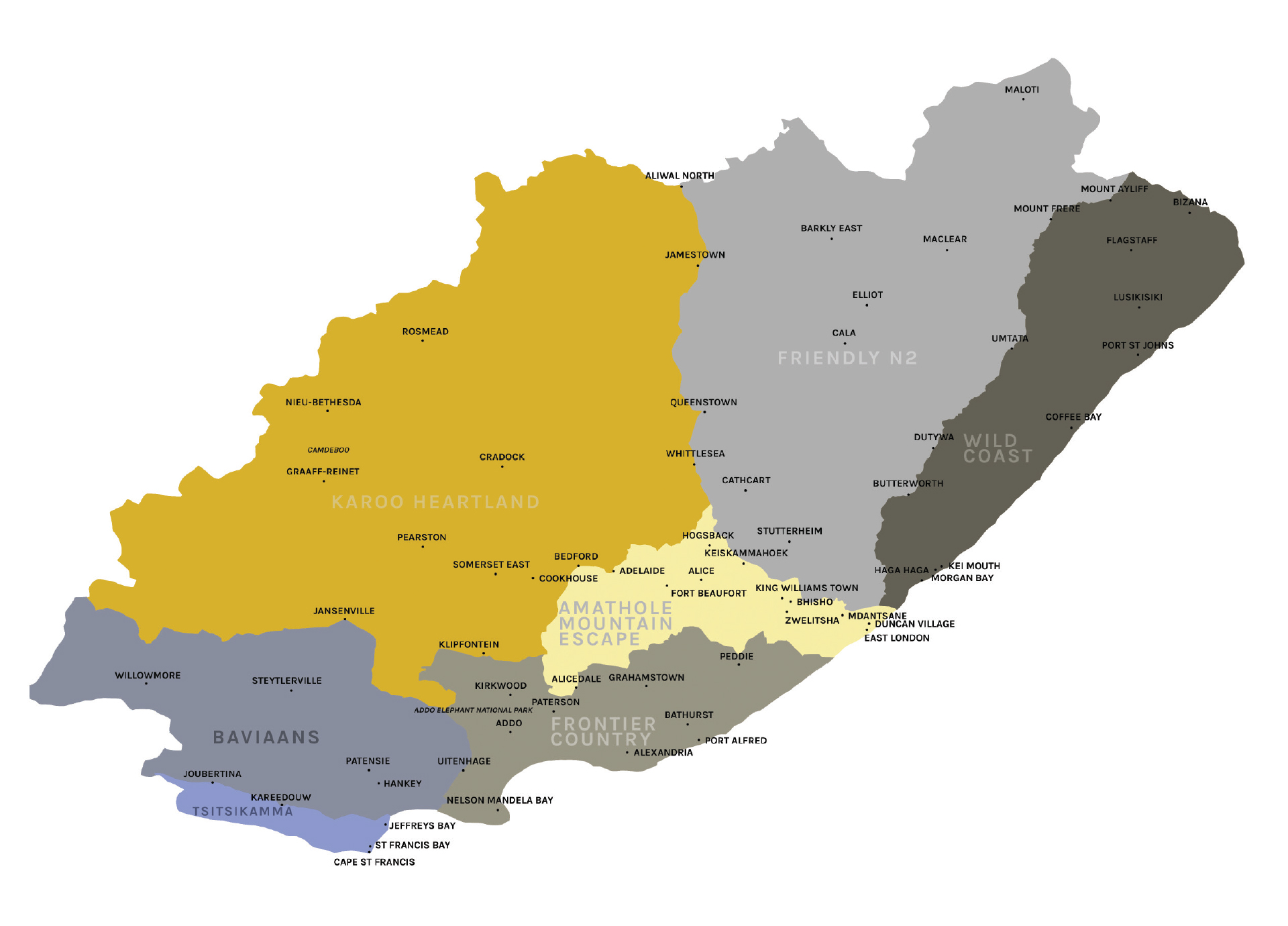
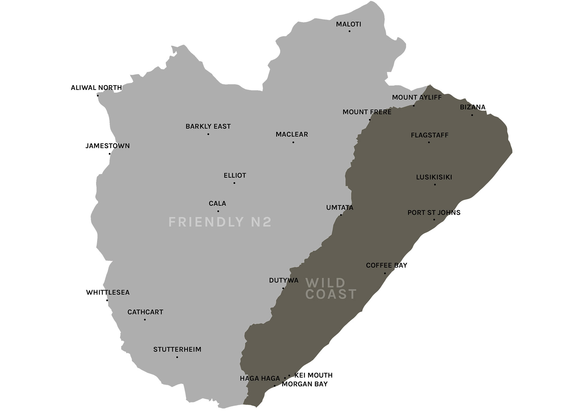
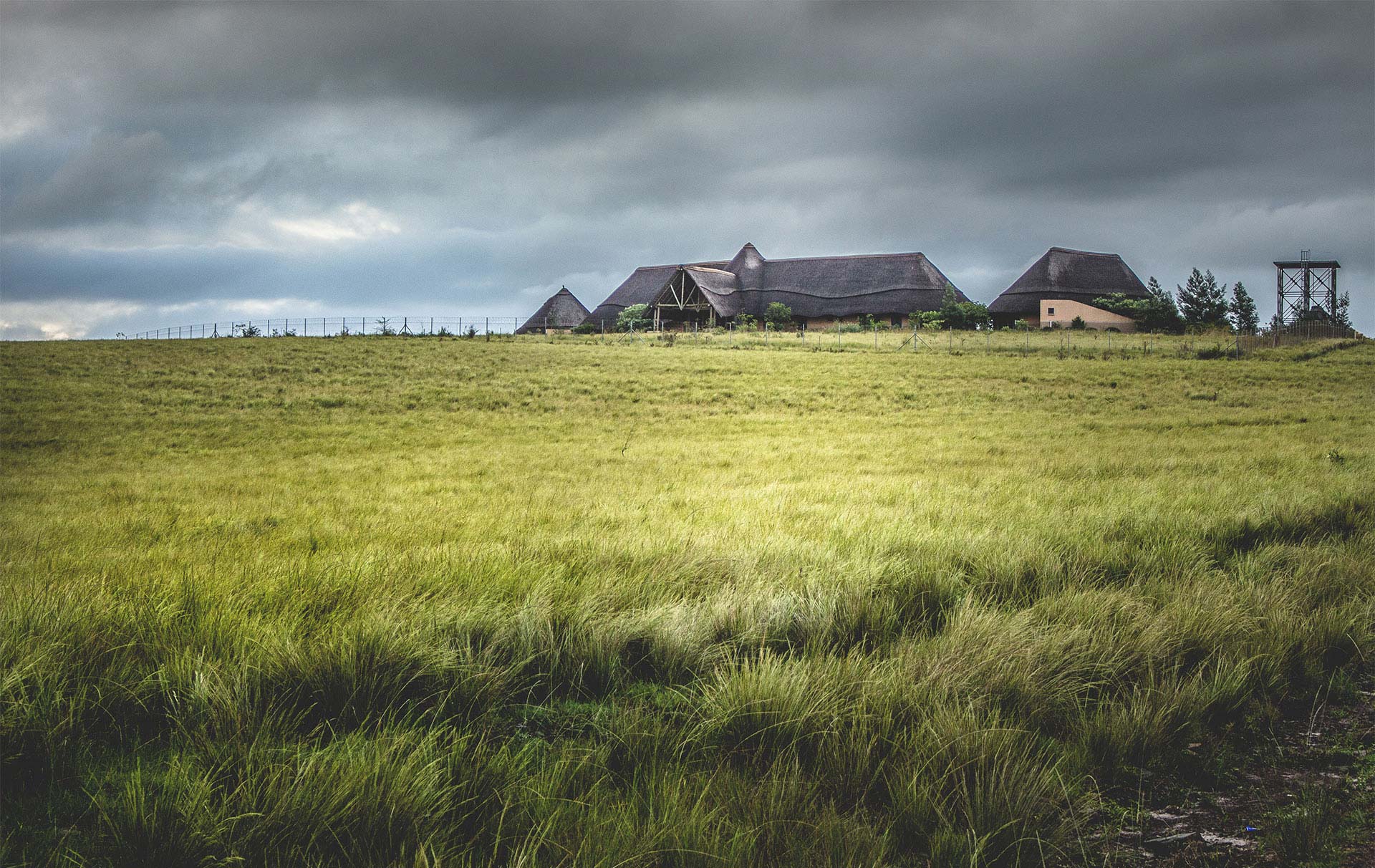
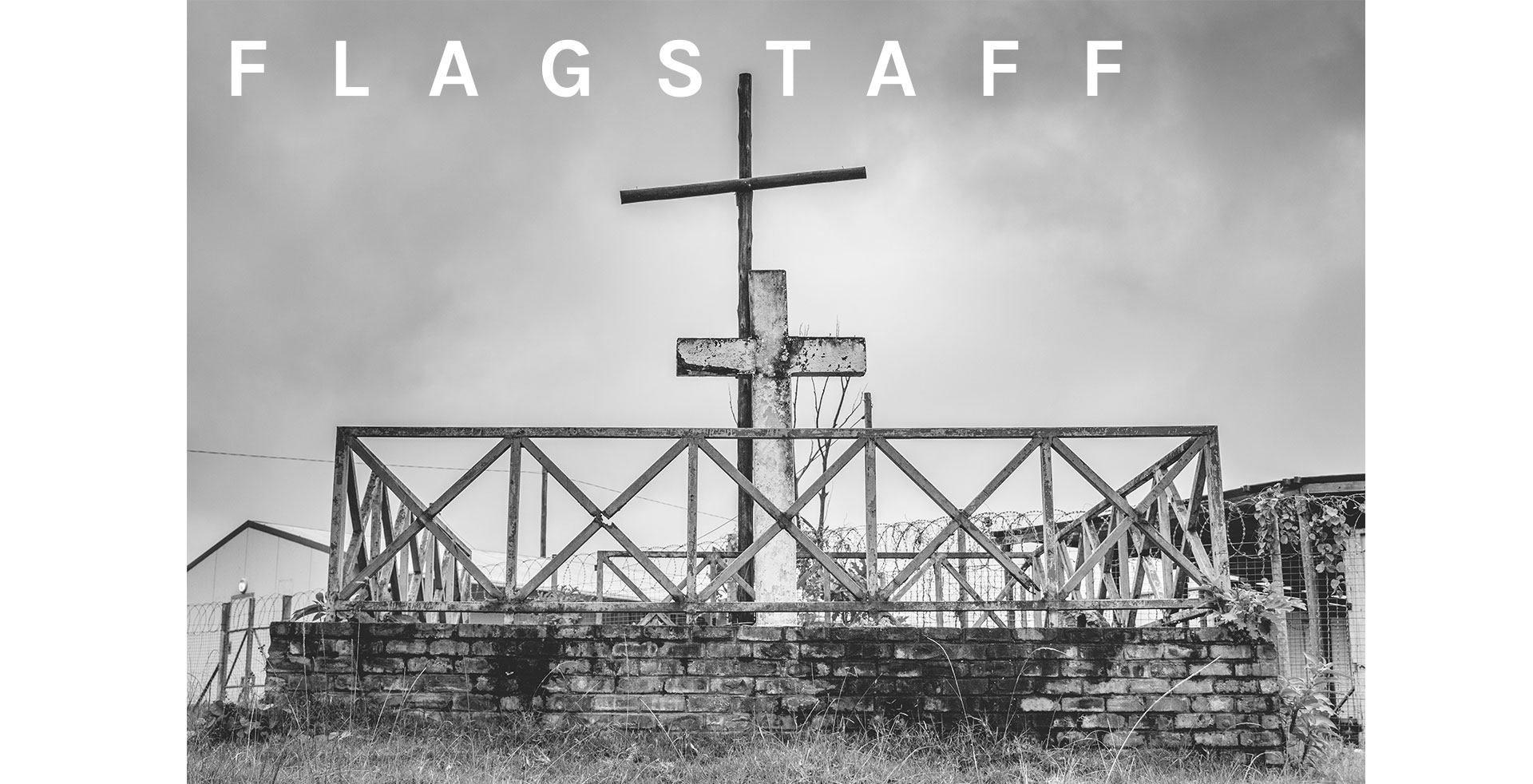
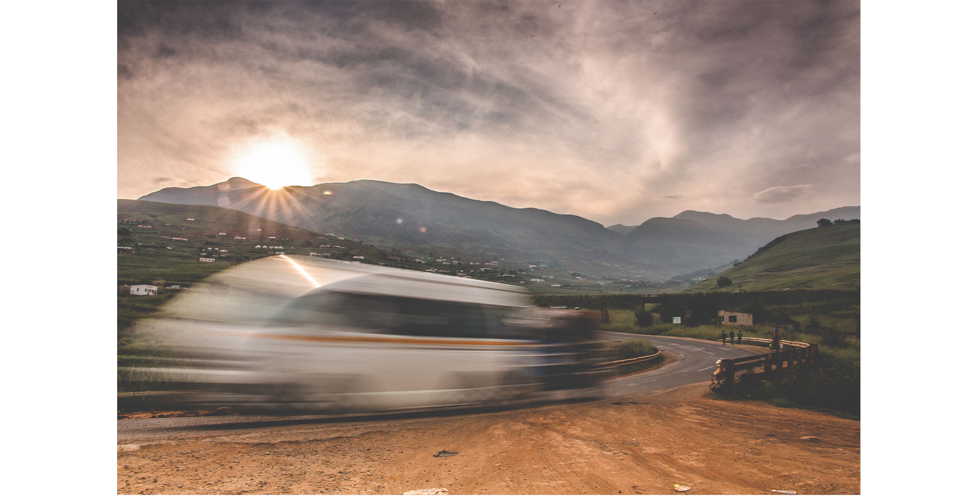
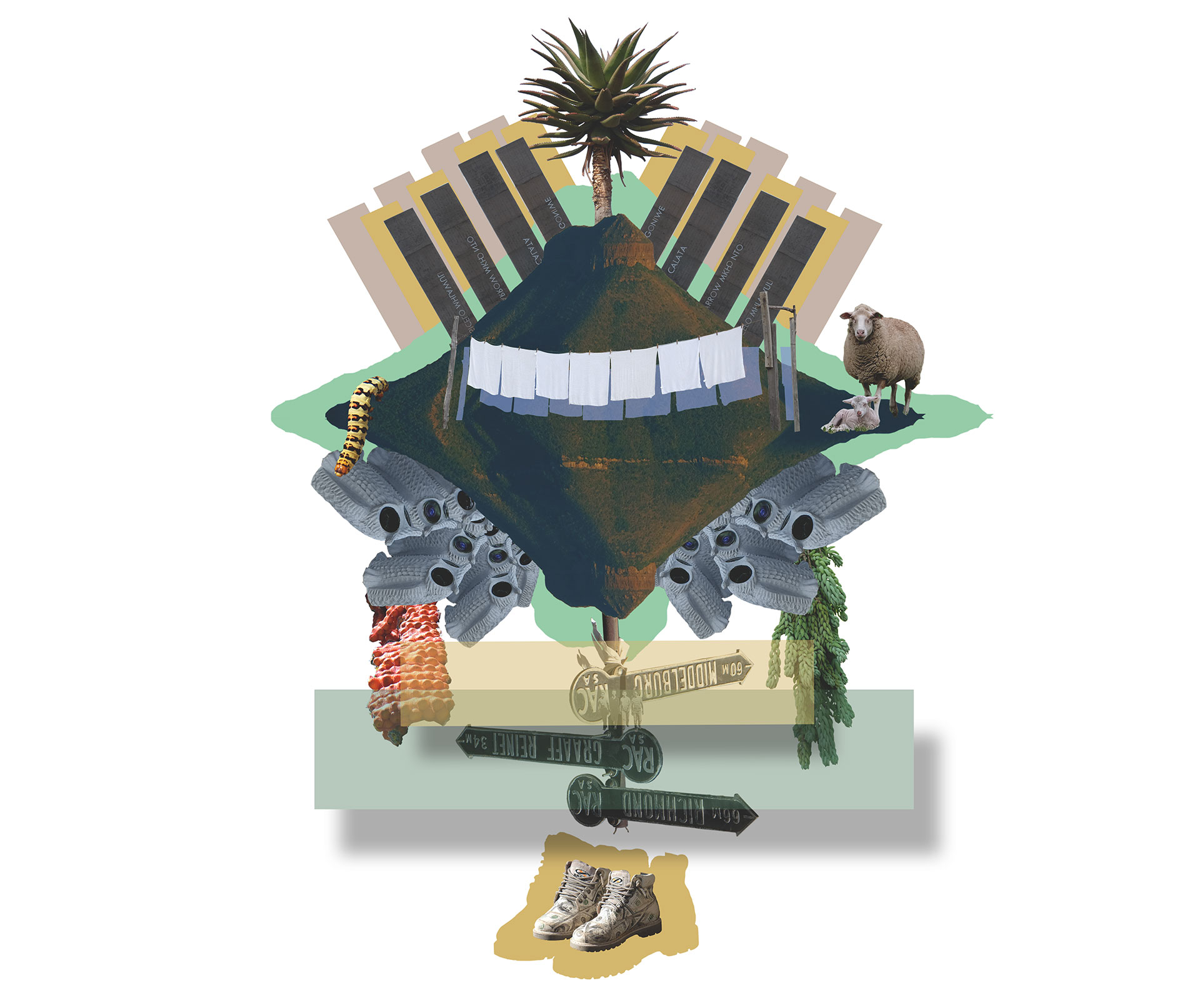
Over the past year, the Moments in Time Field Guide project has seen a team of ten travellers immerse themselves in a number of areas of the Eastern Cape. The experiences have left the travellers intrigued, energised and enriched by the engagements that have occurred – both planned and unplanned. The guide is an offering of all the interest and energy this project has generated, as well as an expression of the deep memory, the sense of nostalgia, combined with the excitement of new discovery that characterises the beautiful Eastern Cape. The team wishes to place it before you as a gift on your own journey of discovery and deepening engagement with spaces and places old and new.

The notion of time providing a snapshot of a particular period is essential here. The periods that have led to this point play an important role in the development of the reality and the lived experience of communities. That lived experience is how the space of heritage relates to the individual at the time they engage with it. The different periods in time play a role in the way in which the viewer sees an area. The lenses through which the viewer, the traveller, sees the site, or the way in which they experience it, are relative given the context of the self.

The people involved from the Faculty of Arts bring with them different worldviews. Our crew of sociologists, anthropologists, political scientists, geographers, conflict analysts and psychologists allow for varying interpretations of the spaces and the experiences that go with them. The differing perspectives which distinguish each discipline, coupled with each individual’s socialization and own processes of understanding the world, makes for some unique representations. The ebb and flow of team performance was evident in who took the leader and follower roles in different settings, circumstances and even in response to different phenomena. This made for new discoveries that added richness to the narrative and the visuals.

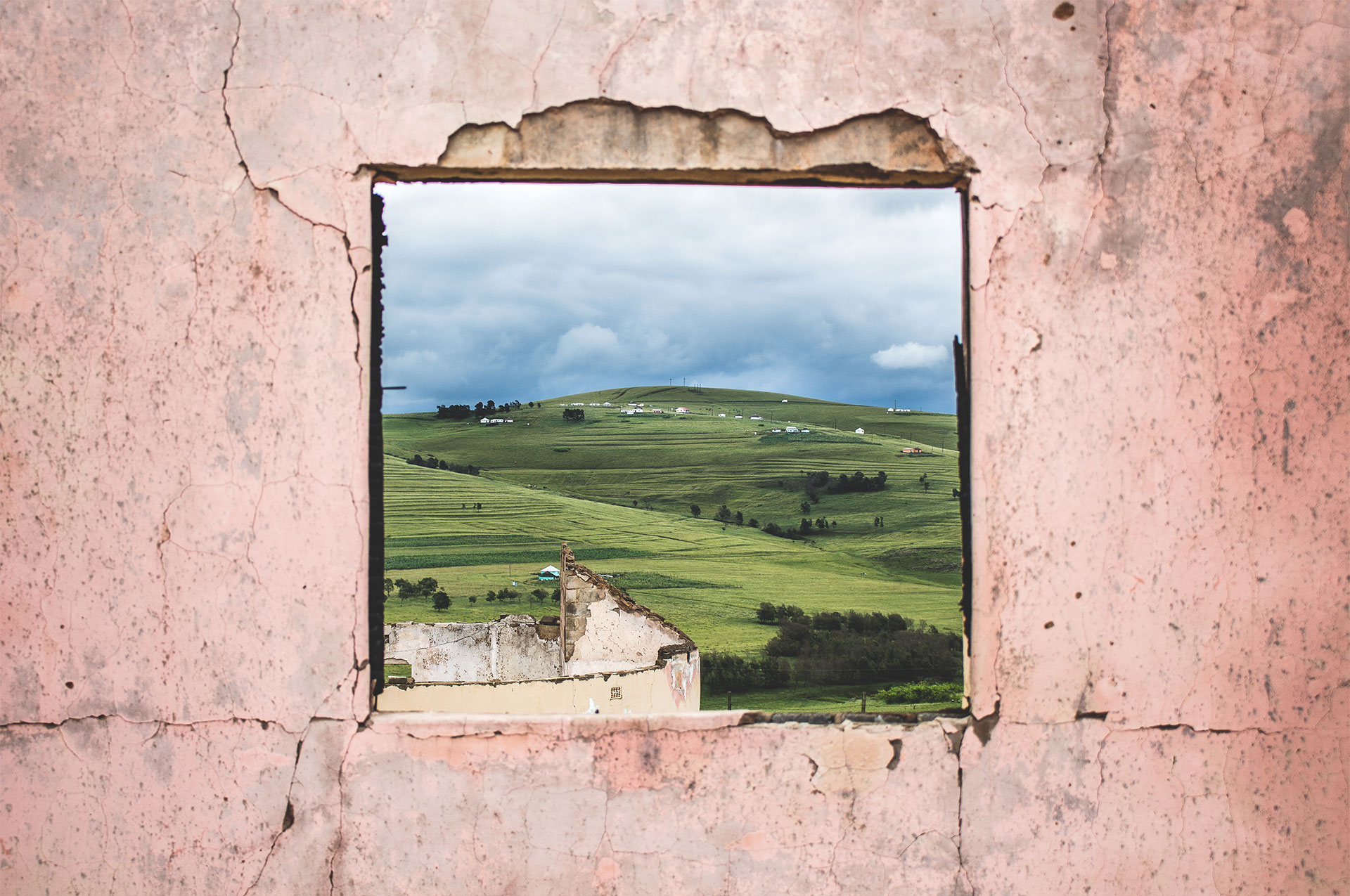
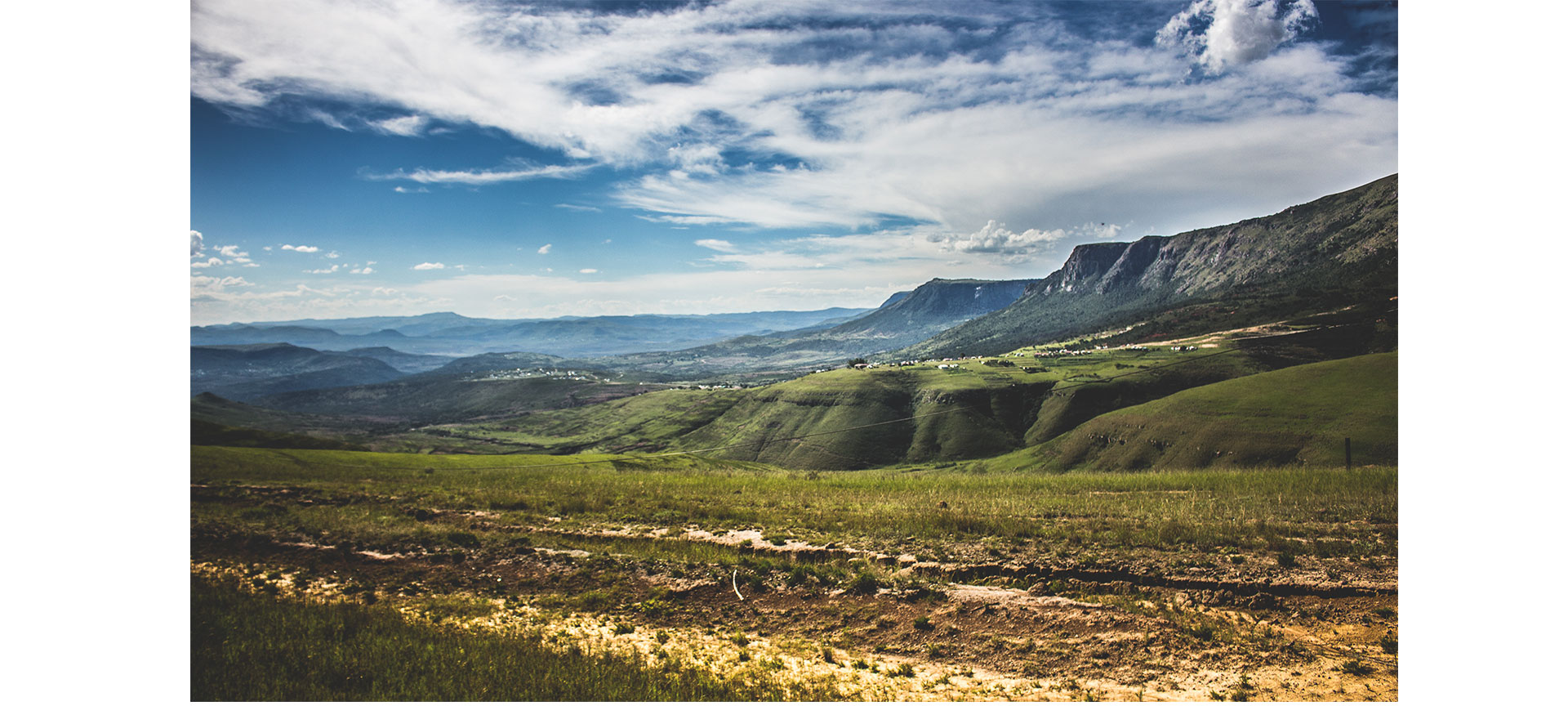
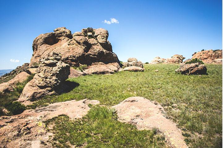
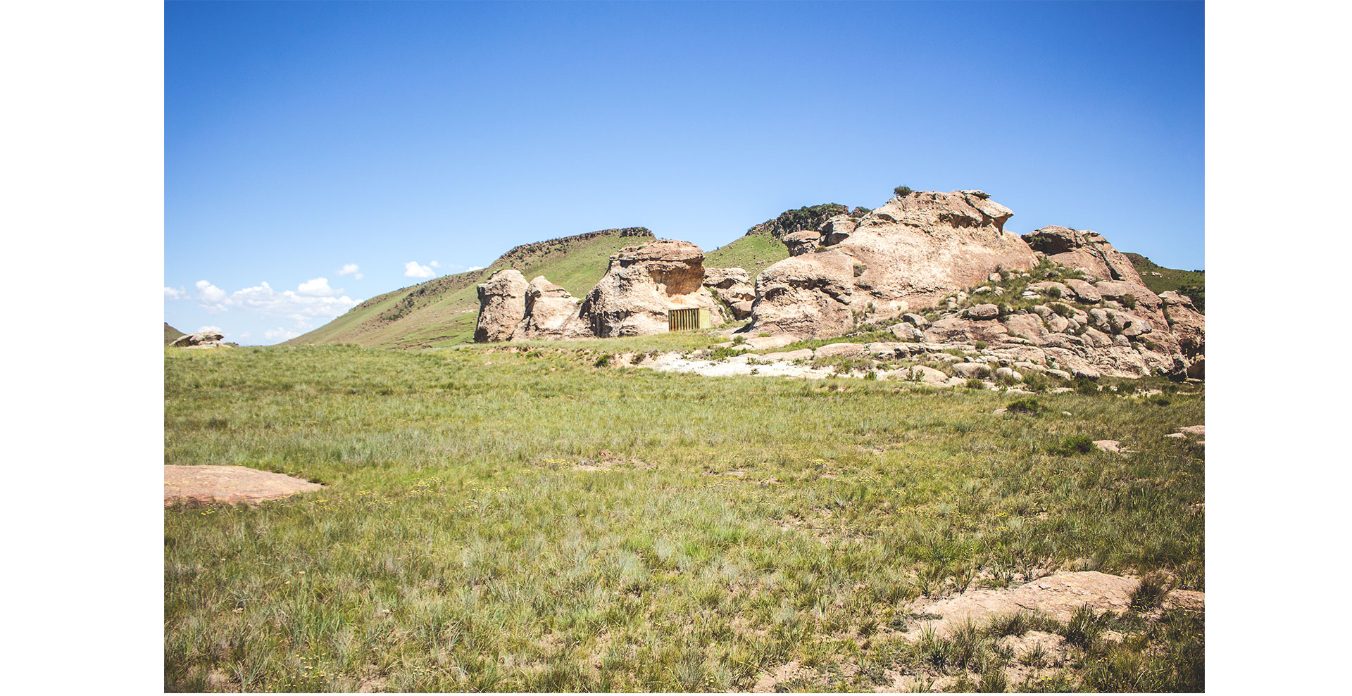
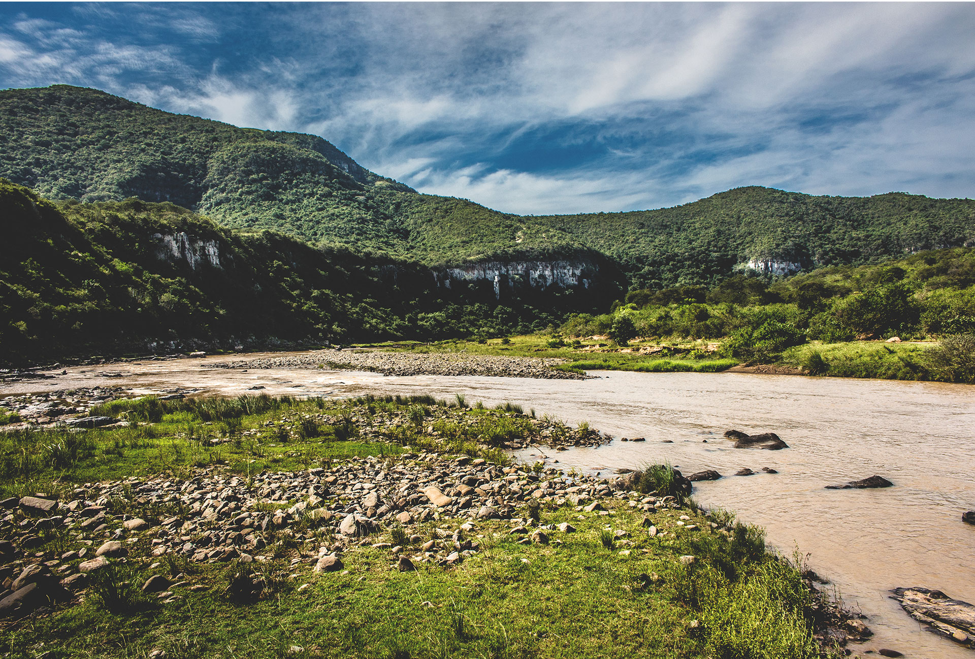
The field, which is vast and varied in appearance, culture, history and feeling, could be described as a colourful canvas wanting to be explored and even interrogated. This interrogation in the form of engagement with, and seeking an understanding of, the other, leads to learning about difference and, more importantly, similarity. Cultures are fluid and changing in the practices and rituals that play out over the years and this has been evident in the travels here documented.

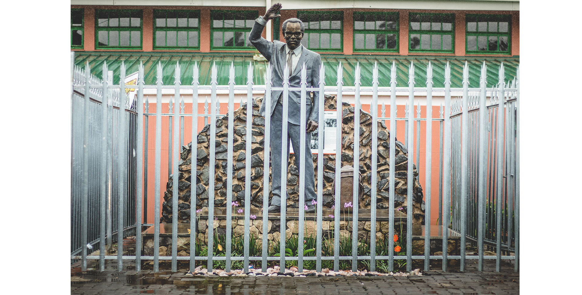
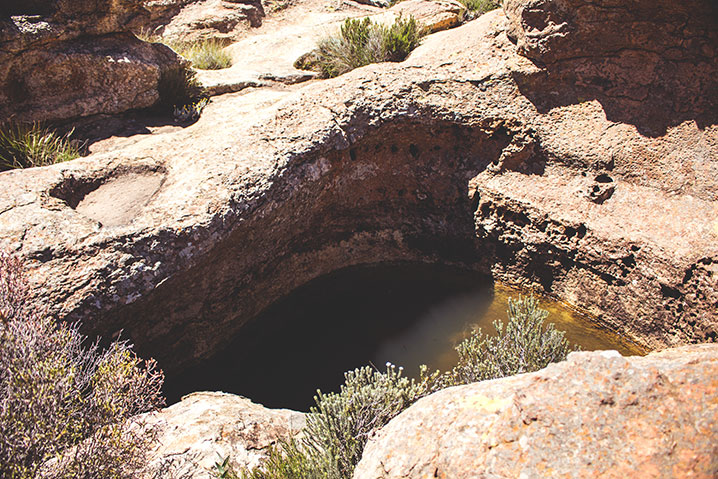
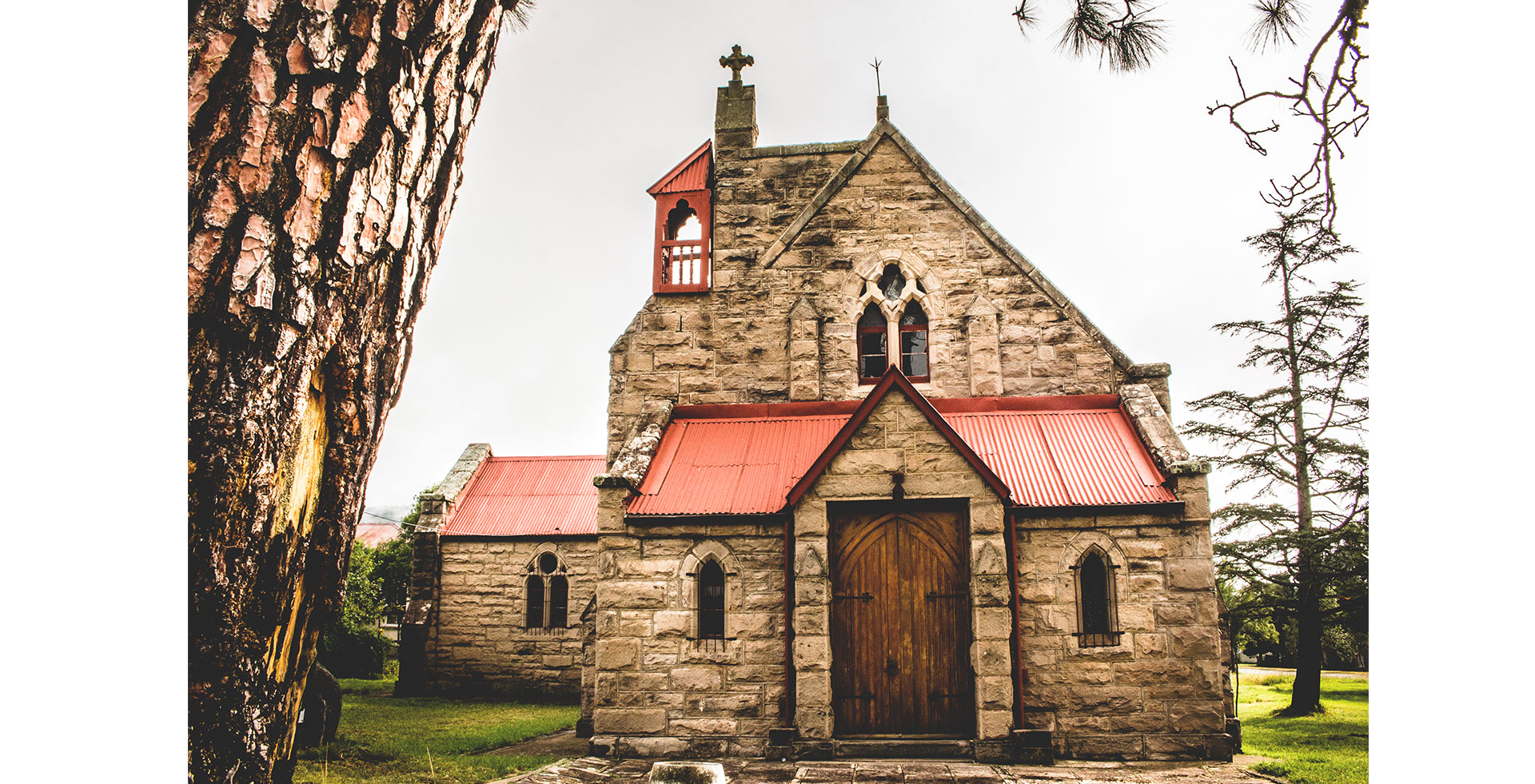
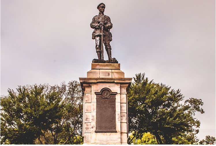
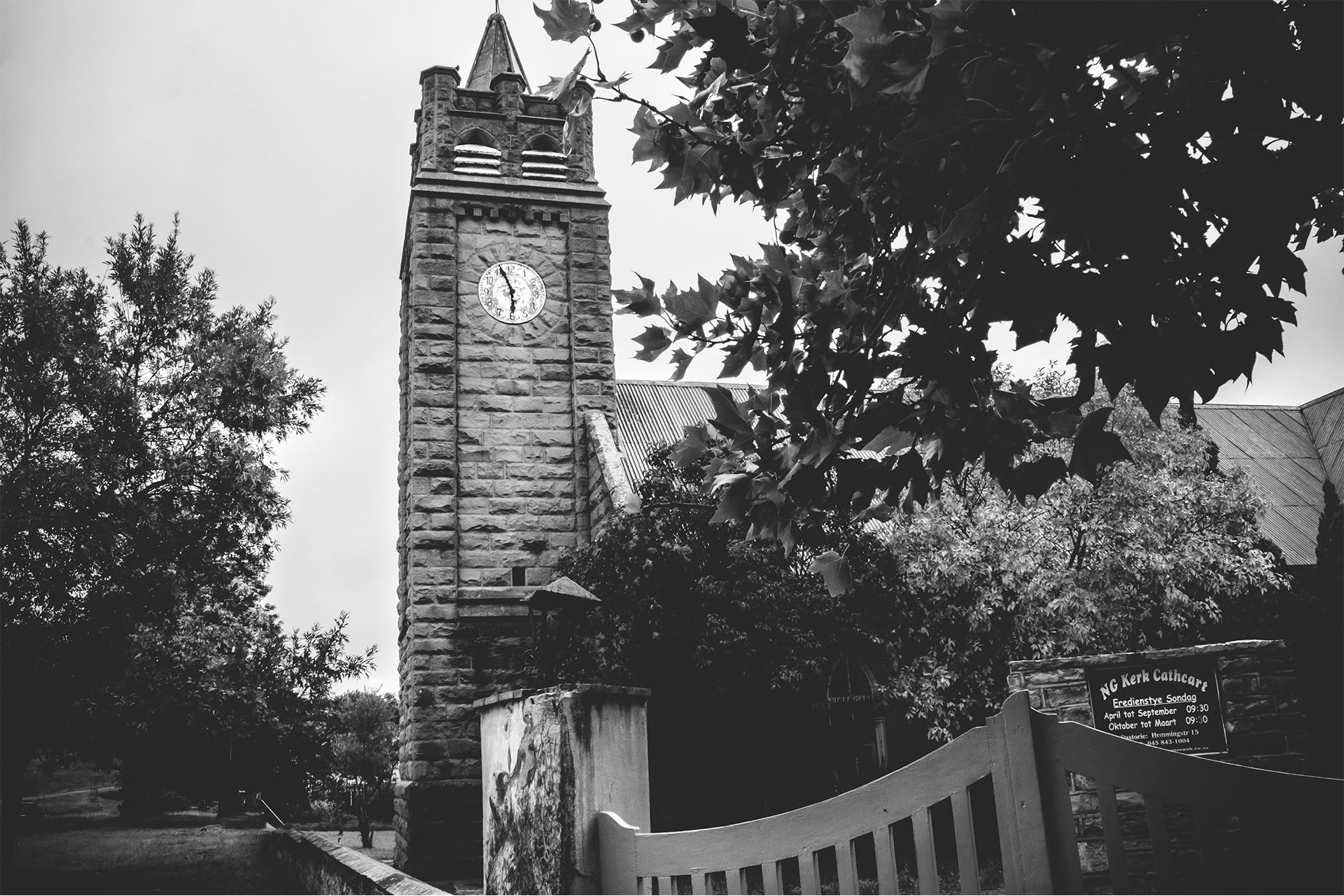
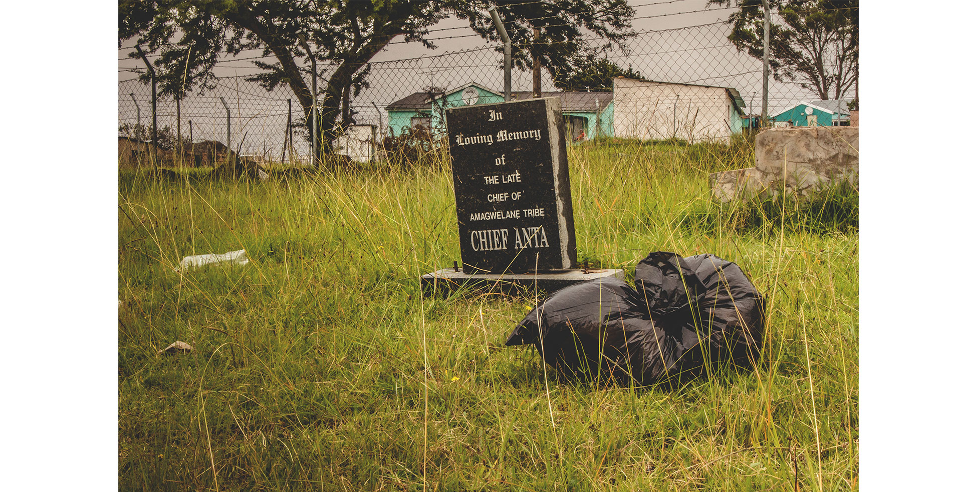
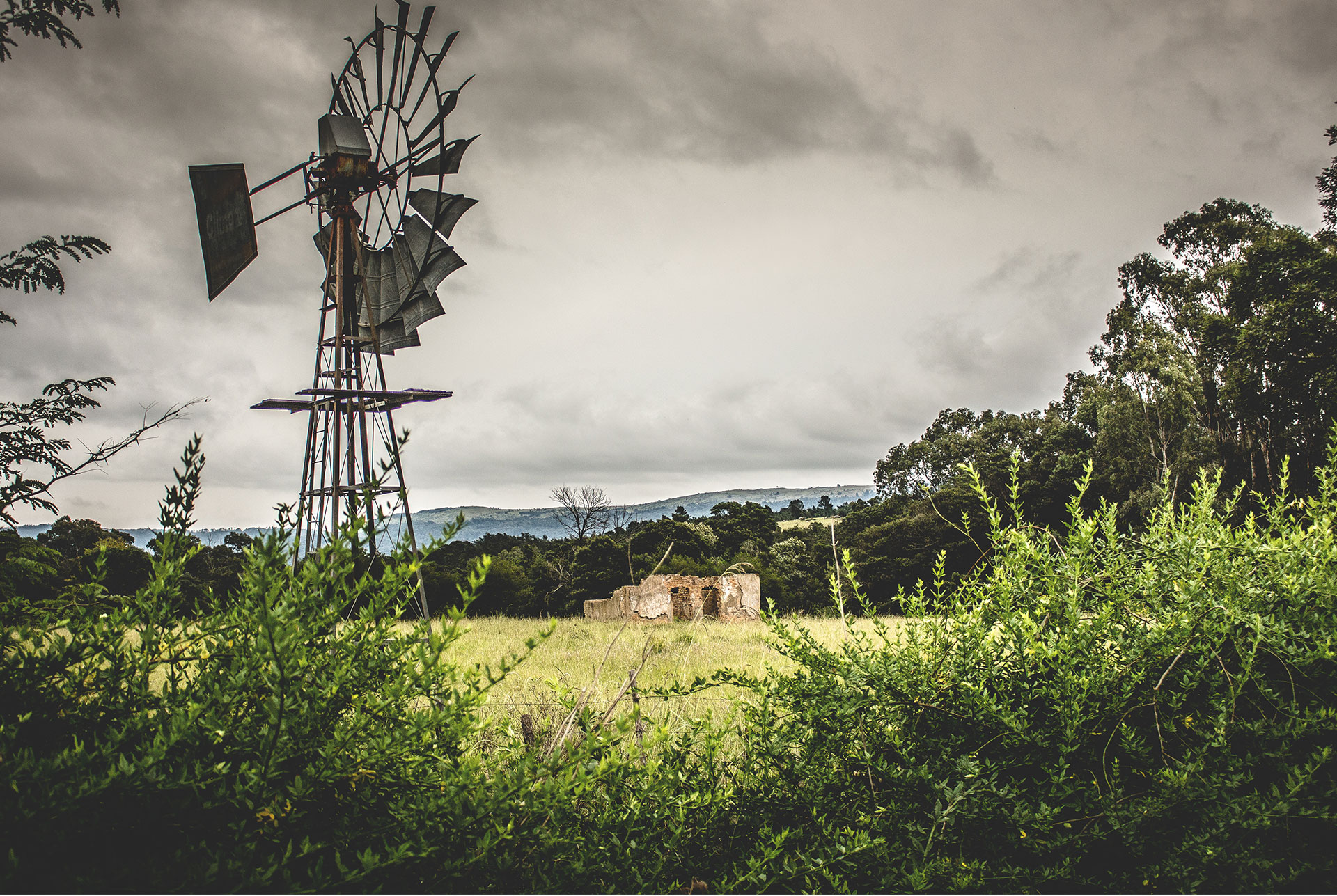
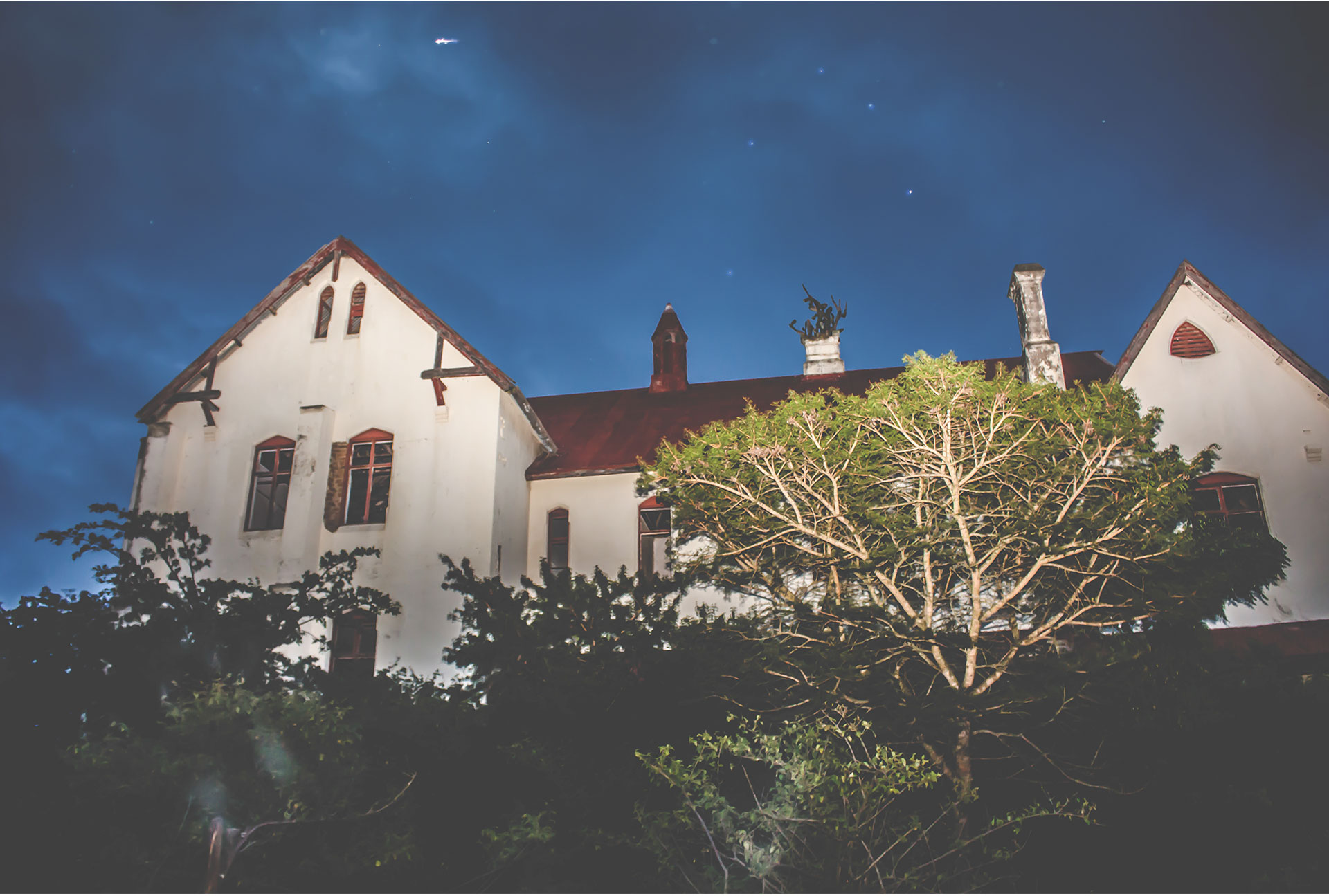
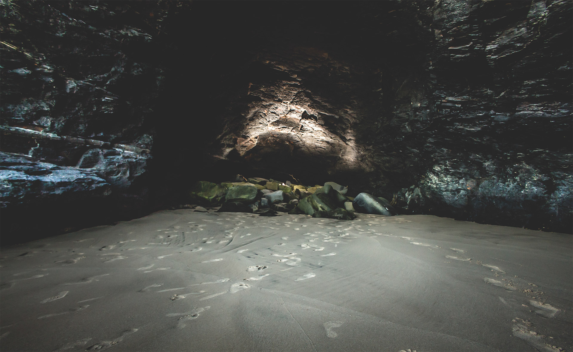
The journey we have embarked on has raised our interest in a number of different cultures. The sites and symbols of heritage evoked a reaction within each traveller. The mere point of memory is not enough, singularly, but it has to be engaged with. Merely, looking at it and passing by robs the experience from oneself and the site. The places of heritage must be allowed room for thought.

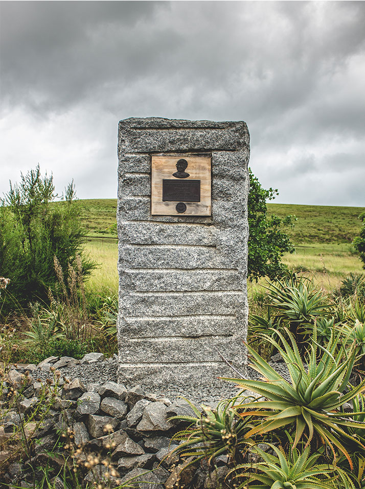
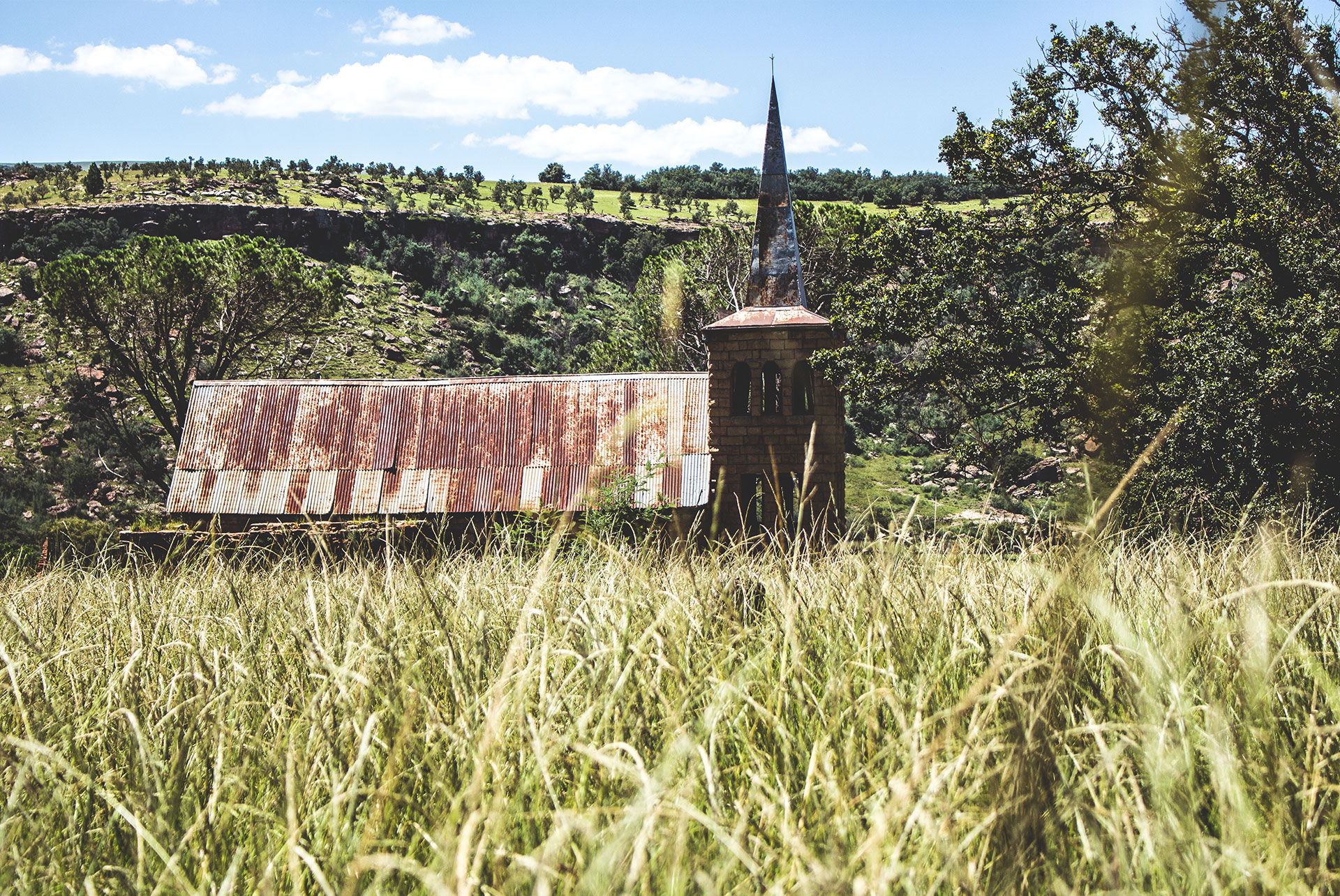
Through heritage, people are able to learn about culture, history and art. Culture is created by everyday living and the recognition of heritage brings to the surface ways of life as they once were. These heritage sites allow people to connect their own lives with that of the past. They draw attention to aspects of their lives and even enriches their lives. The process of reflecting on the site is important and through this, people are able to help shape not only their own thoughts but those of their communities.

Through this research project, we have learned about rich and diverse traditions and customs. To enable more people to gain access to such diversity, we need to engage them in making connections with the past and that which has occurred and holds significance to people. The exercise of partaking in learning about heritage itself enables communities to connect.

The team being from different disciplines caters for an interdisciplinary approach through greater team participation and increases the propensity for public duty and service. The stories of the different aspects of heritage are looked at from different views. The way the story could be told going forward promises to be more holistic. This approach fosters cultural diversity and aids social cohesion.

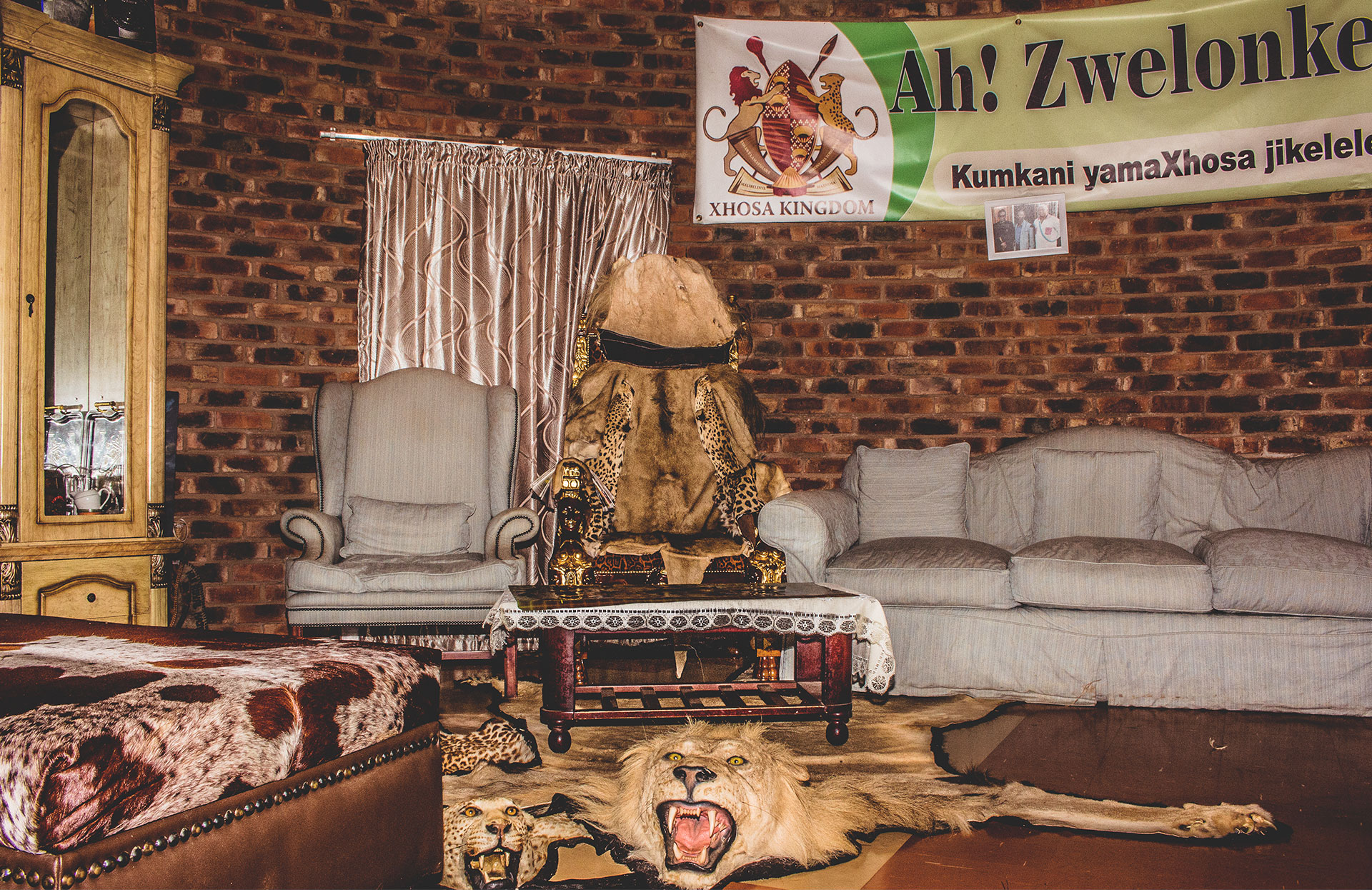
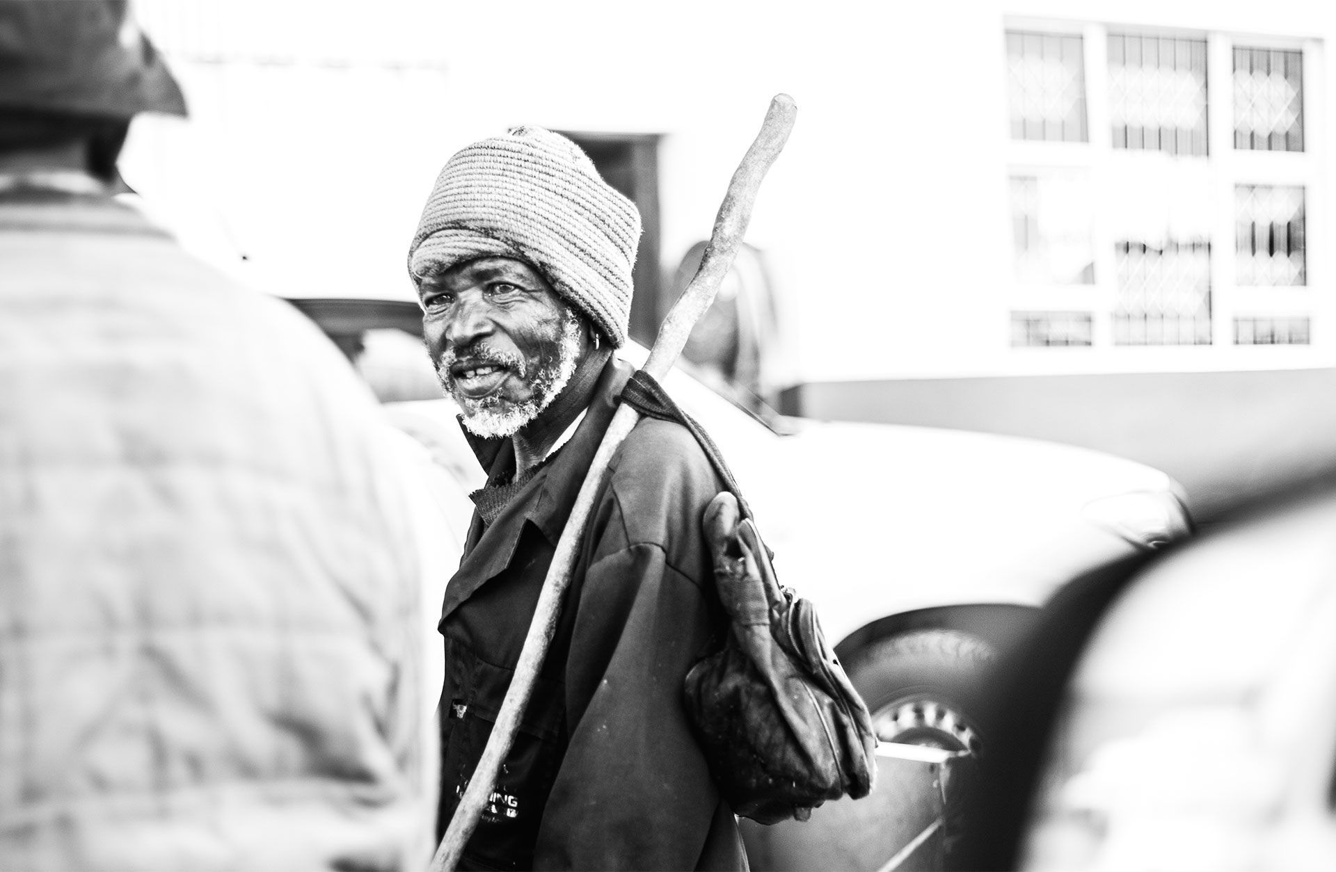
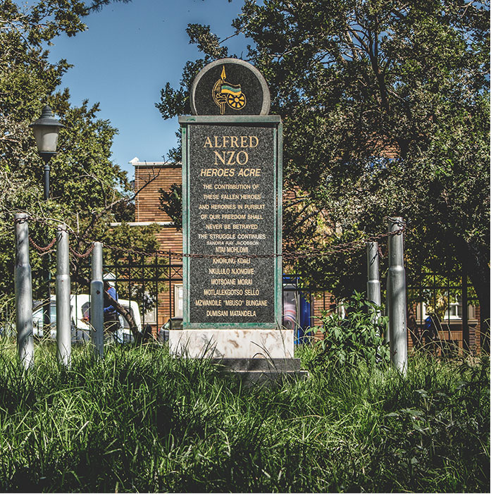
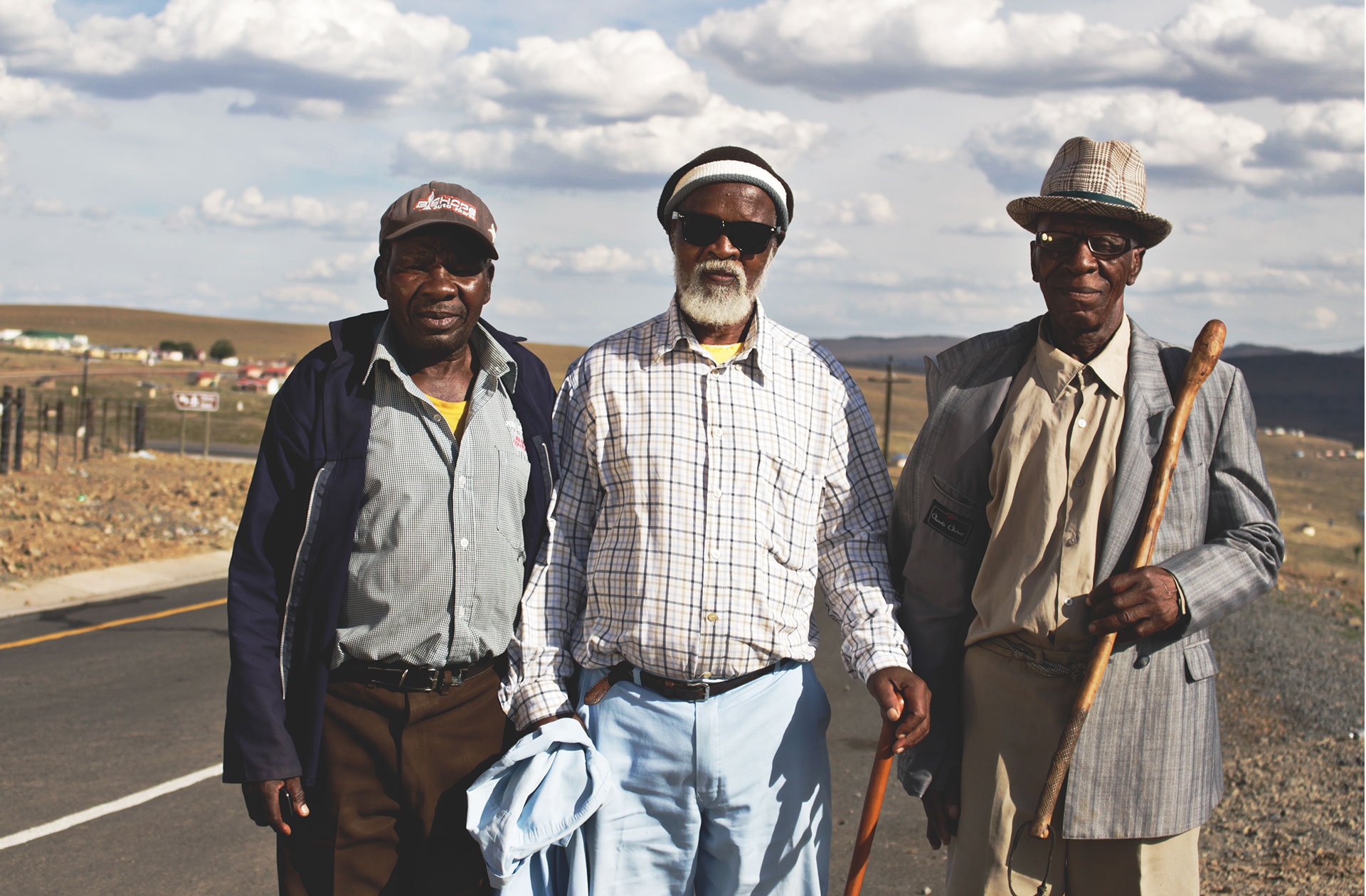
The team has experienced many highs and some real lows through the research journey. In certain spaces, we were informed that only one shade of visitor were welcome, shown books which present exclusionary leaders as heroes, and advised that places of worship were for designated groups only. We led the discussions that illicit good robust thought that made sense in the spaces we were in.

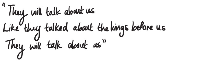
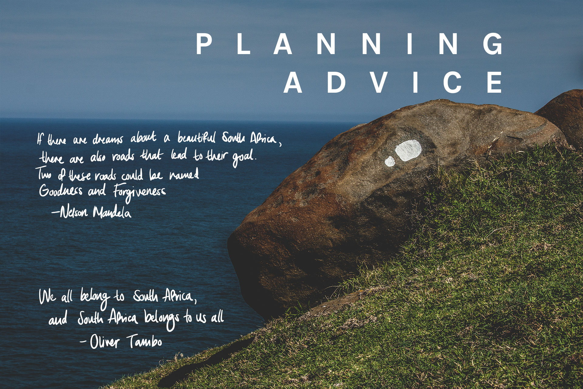
May the journeys of heritage and uncovering new thought from the old relics springboard that which becomes possible in society for the betterment of all.